Category:16th-century maps of Prussia
Jump to navigation
Jump to search
Subcategories
This category has only the following subcategory.
M
Media in category "16th-century maps of Prussia"
The following 2 files are in this category, out of 2 total.
-
 PRVSSIA1576Casparo Henneberg.png 2,973 × 2,289; 4.5 MB
-
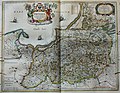 "Prussia accurate descripta - a Gasparo Henneberg Erlichensi." (22064855660).jpg 3,865 × 3,005; 2.46 MB

.jpg)