White Sands National Park
Jump to navigation
Jump to search
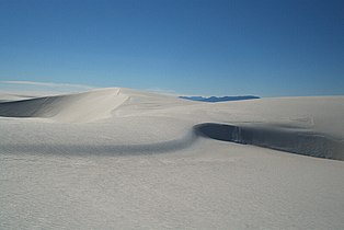
White Sands National Park is located about 15 miles (24 km) southwest of Alamogordo, New Mexico, United States, in the Tularosa Basin. The park protects the southern part of a 275-square-mile (710 km2) field of white sand dunes composed of gypsum crystals. The gypsum dune field is the largest of its kind on Earth.
Maps
[edit]-
 Park map
 -
 Oblique angle map
 -
 Dunes Drive
 -
 Dune types
 -
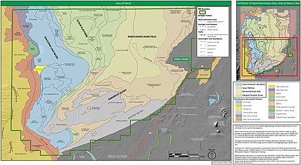
 Geologic map
 -
 New Mexico parks


Satellite and aerial
[edit]-
 Dunes (EO-1)
 -
 New Mexico’s White Sands, late 2022. (ISS)
 -
 Dust storm (ISS)
 -
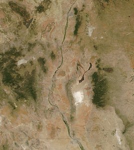 Southern New Mexico (Aqua)
 -
-
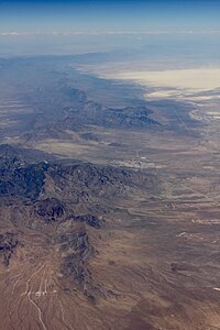
 Aerial view of dunefield
 -
 Balloon over dunes


Dunes
[edit]-
 Dune face
 -
 Yardangs in dunes
 -
 Curving dunes
 -
 Ripples
 -
 Curve
Curve -
 By the road
 -
 Edge of dunes
 -
 Dawn
Dawn -
 Sunset
 -
 Tourists
 -
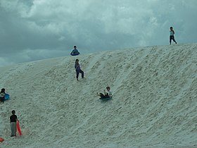 Sledding down a dune
 -
 Military personnel


.jpg)
.jpg)


.jpg)

.jpg)


Plants
[edit]-
 Dune plants
 -

-
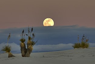 Yucca elata and moon
 -
 Yucca elata
 -
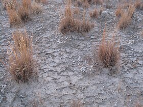
 Gypsum plant stand
 -
 Gypsum plant stands
 -
 Gypsum plant stand sign
 -
-
 New growth
 -
 Flowers
 -

-
 Sunset
 -
 Solitary tree


.jpg)
.jpg)

.jpg)

Animals
[edit]-
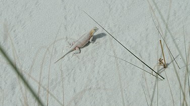 Bleached earless lizard (Holbrookia maculata ruthveni)
 -
 White Sands prairie lizard (Sceloporus cowlesi)
 -
-
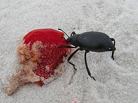
 Darkling beetle and tracks
 -


_-_White_Sands_National_Monument.JPG)
.jpg)

General
[edit]-
 Gypsum sand macro
 -
 Selenite crystals, Lake Lucero
 -
 Lake Lucero
 -
 Road closed sign
 -
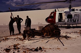 Missile debris recovery
 -
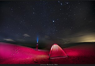 Camping
 -
 Dunes Drive
 -
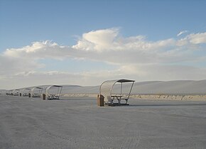 Picnic shelters
 -
 Derelict building
 -
 Color dune art
 -
 B&W dune art


.jpg)


.jpg)

Panoramas
[edit]-
 Alkali Flats Trail
 -
 Dunefield panorama from Alkali Flats Trail
 -
 Dunefield panorama from Dunes Drive


