Vlieland
Jump to navigation
Jump to search
island and municipality in Friesland, the Netherlands | |||||
| Upload media | |||||
| Instance of |
| ||||
|---|---|---|---|---|---|
| Part of | |||||
| Location |
| ||||
| Located in or next to body of water | |||||
| Capital | |||||
| Width |
| ||||
| Highest point | |||||
| Population |
| ||||
| Area |
| ||||
| Elevation above sea level |
| ||||
| official website | |||||
 | |||||
-
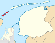
Locatie
-
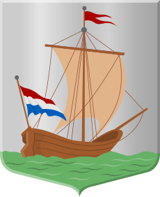
Wapen
-
Vlag
-
Gezicht op de Veerdam
-
Veerpont naar Harlingen
-
Veerpont naar Texel
-
Pier van de boot van Texel naar het strand
-
Jachthaven
-
Waddendijk
-
Kerk
-
Voormalig raadhuis (met schip als windvaan)
-
Voormalig diaconiehuis
-
Dorpsstraat
-
Dorpsstraat (oost)
-
Vliehors Expres
-
Scheepsvormen
-
Het Posthuys
-
Reddingbootschuur
-
Vuurtoren Vuurduin
-
Duinen
-
Duinen, strand en golfbrekers
-
Schepen bij eb
-
Drieteenstrandloper
-
De jutter
-
Opslag
-
Militair oefenterrein Vliehors
-
Bunker uit Tweede Wereldoorlog
-
Verdronken dorp (in 1736)


