User:Pi.1415926535/Best images
Jump to navigation
Jump to search
These are some of the best images I've contributed to Commons.
Photographs
[edit]My photographs - modern
[edit]These photographs are not especially good photographs, but instead rare or unusual shots. They include abandoned stations, first pictures of new stations, and some of my favorite panoramas.
-
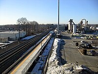
First free photo of Four Corners/Geneva on the Fairmount Line
-
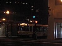
2011 shuttle bus between North Station and Lechmere
-
National Geographic photographer Brian Skerry
-
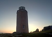
Massive panorama at Avery Point: 27 images with a cell phone camera
-
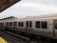
New MBTA locomotive just days after arrival
-
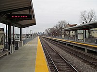
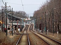
First free photo of T.F. Green Airport station
-
360-degree panorama, Storrow Drive, Boston
-
Science Park right after 2011 renovation
-
Tracks 11 and 12 at North Station: ready, but not built
-
Just in case the Green Line did ever get brought back to Arborway (Forest Hills), the signs were in place
-
Uphams Corner station
-
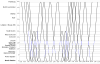
Time/space chart of Fitchburg Line
-
Wollaston station
-
Blue Line interior
-
Silver Line Way stop
-
Ashmont station from the rear window of a PCC car
-
Naked Red Line train!
-
Uphams Corner and Downtown
-
Skyway at T.F. Green
-
Train at T.F. Green
-
Interlocking and siding construction at Wickford Junction
-
Wickford Junction under construction
-
Commuter train at Porter
-
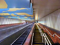
Escalator and stairs at Porter
-
Pocket track at Blandford Street
-
Agricultural Branch bridge in Framingham
-
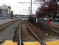
BU East stop
My photographs - historical things
[edit]-
Charlestown Elevated piers at Sullivan Square
-
Blocked-off area at Chinatown
-
Boarded-up underpass at Boylston
-
1967-69 map at Orient Heights
-
Remains of station at Union Square, Somerville
-
Norwich & Westerly Railway trolley bridge
-
Norwich & Westerly carhouse, now brass foundry
-
Bird Street Bridge, Fairmount Line
-
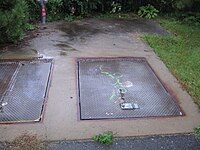
Hatches in Minuteman Bikeway for Arlington extension of the Red Line
-
Last remains of the Canal Street Incline
-
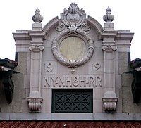
Beautiful 1912 station at Westerly
-
Braves Field loop tracks at Babcock Street
-
Scollay Under sign at Government Center
-
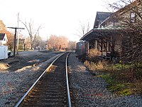
Old Littleton Depot, taken to match a hundred-year-old postcard
-
Abandoned T stop at Fordham Road
-
Outbound platform at 1912 Harvard station
-
Boston Elevated Railway monument at the old Eliot Yards at Harvard
-
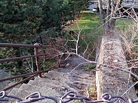
Old steps at Porter
-
Former BRB&L Harbor View station
-
Broadway streetcar tunnel
HDR Images
[edit]-
Waban station at night
-
Smithsonian Castle
-
Westerly station
-
Back Bay commuter rail / Amtrak platform
-
Massachusetts Avenue on the Orange Line
-
Prospect Hill monument
-
Old streetcars on display at Boylston
-
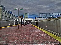
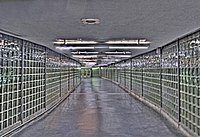
Underpass at Back Bay
-
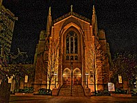
Marsh Chapel
Historic Images
[edit]Public-domain images I've scanned or taken from digitized books or snatched from the internet
-
1916 map of a Connecticut trolley network
-
Norwich and Westerly trolley and old Westerly depot
-
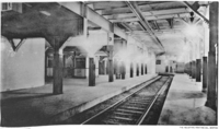
1898 image of abandoned platform at Government Center
-
1898 plan of Scollay Square (now Government Center) station
-
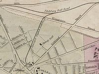
1849 map of Harvard Branch Railroad
-
City Square on the old Charlestown Elevated
-
Public Gardens portal, now long-gone
-
Streetcar (now Green Line) and Main (Orange) Line trains at the Pleasant Street Portal
-
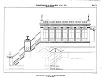
BERy station plan
-
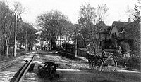
Norwich & Westerly tracks in Preston, CT
-
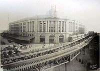
South Station and Atlantic Avenue Elevated
-
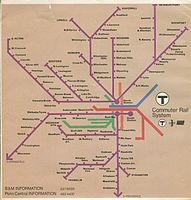
1975 MBTA Commuter Rail map
-
Harvard station, 3 days before its 1912 opening
-
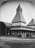
1895 Lynn depot
Maps
[edit]My original maps
[edit]-
Stylized map of the MBTA Silver Line bus service
-
My first SVG map
-
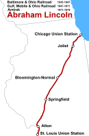
Former train route
-
Maps are adaptable
-
Better version of my first geographic map
-
To my knowledge, the best explanatory map of the portal
-
Former T service
-
Proposed service in New England
-
With a massively complex inlet
-
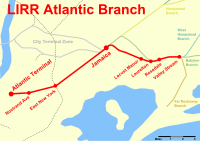
Basic commuter line map
-
Another basic commuter line map
-
One of my best graphical designs
-
Huge (20-mile long) streetcar map
-
Basic SVG map for an article
-
MBTA rail system map
Maps started by others
[edit]-
I took a huge map, unreadable at small scale, and made this infobox-suitable version
-
SVG copy of a PNG map
-
Massive MBTA map, which I updated, expanded, and then grouped to allow further changes
-
Derivation of that map for a specific article

