User:Giftzwerg 88/Fotoprojekt Tübingen
Jump to navigation
Jump to search
| This is a gallery of files created by Giftzwerg 88. |
- Domäne Ammern
- Bebenhausen
- Bahnhofsviertel
- Bühl
- Derendingen
- Französisches Viertel
- Güterbahnhofsviertel
- Hagelloch dazu Gehöft Rosenau und Haus Ebenhalde
- Hirschau
- Kilchberg
- Kreßbach und Eckhof
- Loretto
- Lustnau
- Pfrondorf
- Österberg
- Südstadt
- Thiepval-Kaserne
- Tübingen (Zentrum)
- Unterjesingen mit Schloss Roseck, Untere Mühle
- Waldhausen
- Weilheim
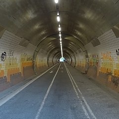
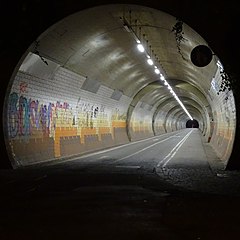
Schlossbergtunnel (Fußgänger+Fahrrad)
[edit]| Object location | | View all coordinates using: OpenStreetMap |
|---|
| Object location | | View all coordinates using: OpenStreetMap |
|---|
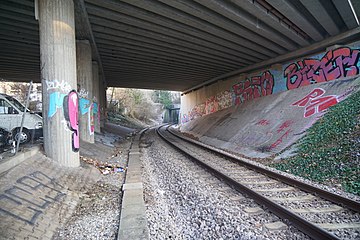
Schlossbergtunnel (Ammertalbahn)
[edit]| Object location | | View all coordinates using: OpenStreetMap |
|---|
| Object location | | View all coordinates using: OpenStreetMap |
|---|
Schlossbergtunnel B296
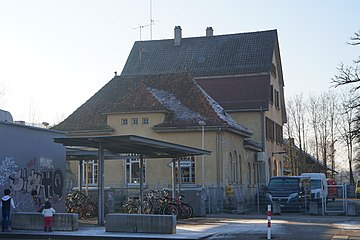
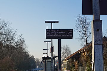
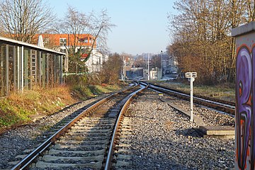
[edit]Bahnhof Tübingen West
[edit]| Object location | | View all coordinates using: OpenStreetMap |
|---|
Gebäude
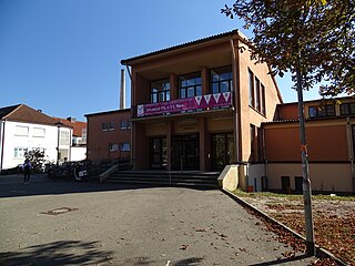
[edit]Hermann Hepper Turnhalle
[edit]| Object location | | View all coordinates using: OpenStreetMap |
|---|
| Camera location | | View all coordinates using: OpenStreetMap |
|---|
Wird auch für Veranstaltungen genutzt.
Neckar mit Stocherkahn
[edit]Mauerstraße, Mordiogäßle
[edit]

