User:Giftzwerg 88/Fotoprojekt Flugfeld
Jump to navigation
Jump to search
| This is a gallery of files created by Giftzwerg 88. |
- Böblingen
- Böblingen, Altstadt
- Böblingen, Bahnhof
- Böblingen, Eisenbahn und ÖPNV
- Böblingen, Flugfeld
- Böblingen, Gewässer
- Böblingen, Hulb
- Böblingen, Kirchen und Andachtsstätten
- Böblingen, Kunstwerke
- Böblingen, Motorworld
- Böblingen, Naturdenkmäler
- Böblingen, Parks
- Böblingen, Stadtwald Panzerübungsplatz
- Böblingen, Schulen
- Dagersheim
Siehe auch Sindelfingen
Panoramas
[edit]Harfenbrücke
[edit]| Object location | | View all coordinates using: OpenStreetMap |
|---|
Straßenschilder
[edit]Gebäude
[edit]Banner gegen den Wolf
[edit]Zirkus 2019 auf dem Flugfeld
[edit]Diverses
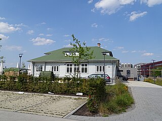
[edit]Empfangsgebäude Flugfeld
[edit]| Object location | | View all coordinates using: OpenStreetMap |
|---|
Baustelle Klinikum
[edit]Schafe
[edit]


