User:Giftzwerg 88/Fotoprojekt Altburg (Calw)
Jump to navigation
Jump to search
| This is a gallery of files created by Giftzwerg 88. |
Altburg ist ein Stadtteil von Calw.
Rathaus
[edit]| Object location | | View all coordinates using: OpenStreetMap |
|---|
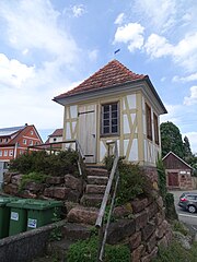
Backhäusle Altburg
[edit]| Object location | | View all coordinates using: OpenStreetMap |
|---|
Pfarrhaus
[edit]Waaghäusle
[edit]Gebäude
[edit]Martinskirche
[edit]| Object location | | View all coordinates using: OpenStreetMap |
|---|


