Hawaii hotspot
Jump to navigation
Jump to search
- Main Wikipedia article: Hawaii hotspot.
English: The Hawaii hotspot is a localized area of increased volcanic activity, which is responsible for the creation of the Hawaiian islands.
Eruption phenomena
[edit]-
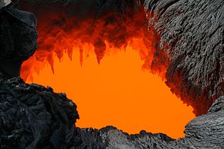
Lava skylight with lava stalactites
-
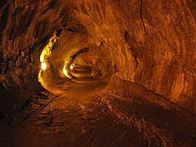
Thurston lava tube in Hawaii Volcanoes National Park
-
Lava tube
-
Advancing pahoehoe toe
-
Pahoehoe lava which has cooled
-
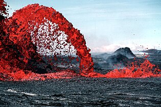
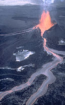
Pahoehoe lava fountain

-
Aa lava
-
Kipuka formed during an eruption of Pu Oo.
-
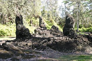
Lava trees at Lava Tree State Monument
-
Lava trees
-
Lava tree
-
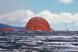
Lava fountain dome during Kilauea eruption
Mauna Kea
[edit]Main category: Mauna Kea
-
A cinder cone (Pu`u ka Pele) on the flank of Mauna Kea
-
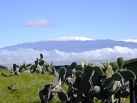
The summit of Mauna Kea
-
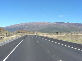
Hawaii State Route 200 featuring Mauna Kea
Kilauea
[edit]Main gallery: Kilauea.
-
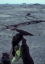
Rift zone on Kilauea
-
Kilauea crater
-
Aerial view of Pu`u `O`o cinder cone on the flank of Kilauea
Extinct volcanoes
[edit]-
Aerial view of Diamond Head crater
-
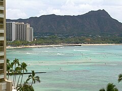
Ground view of Diamond Head crater, with Waikiki beach
-
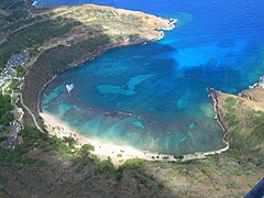
Aerial view of Hanauma crater
-
Aerial view of Koolau Range, including Koko Head crater.
Satellite photos
[edit]-
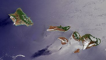
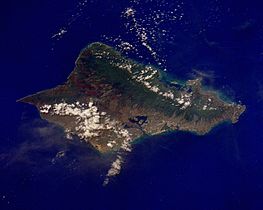
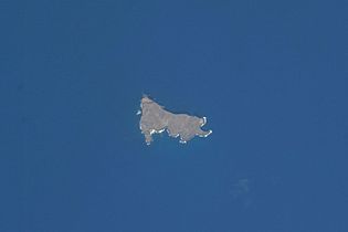
Satellite photo of Oahu, Molokai, Lanai, Kahoolawe, and Maui.
-
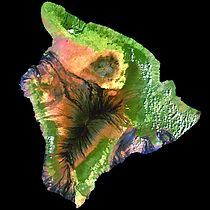
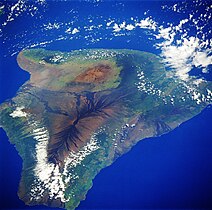
Landsat satellite mosaic photo of the island of Hawaii
Diagrams
[edit]-
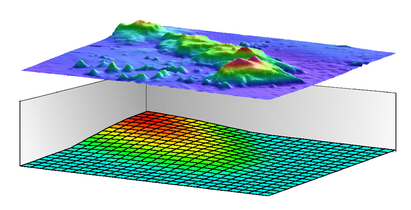
Schematic of plume-induced thinning of the lithosphere
-
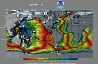
Age of seafloor, with features of interest
-
Age of seafloor, with tectonic plates identified
-
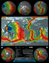
Age of seafloor, with 3D Globe representation
-
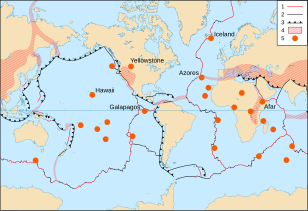
Tectonic plates with hotspots
-
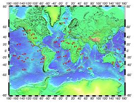
World-wide hotspot distribution
-
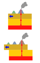
Creation of volcano chains
-
Diagram of mantle plume and hotspot trail
-
Erosion and subsidence of Maui Nui
-
Erosion and subsidence of volcano preceding formation of coral atoll

-
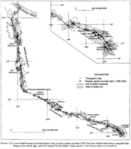
The two trends of volcanic loci traced back through the end of the chain.
-
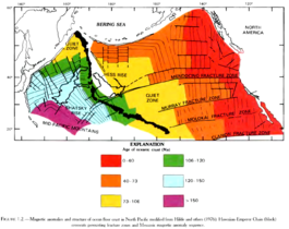
Age of ocean floor in the north Pacific, showing fault lines.
-
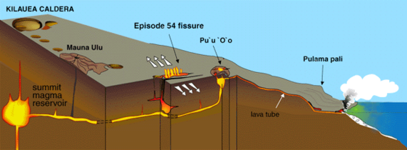
Cutaway view of Kilauea rift zone
Maps
[edit]-
Kilauea crater and side vents
-
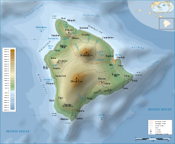
Topographic map of the island of Hawaii
-
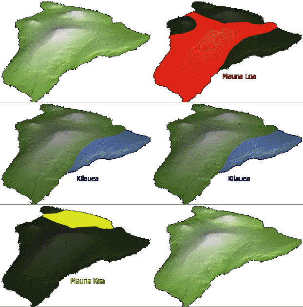
Volcanoes which comprise the island of Hawaii
-
Animated map of volcanoes which comprise the island of Hawaii
-
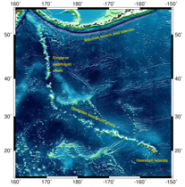
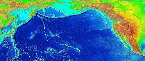
Large-scale view of seafloor topography surrounding the Hawaii hotspot
-
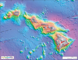
Bathymetric map of Hawaiian islands
-
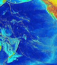
Map of prominent hotspot trails in the Pacific basin
-
Large-scale map of seafloor topography surrounding the Hawaii hotspot


