Governors Island
Jump to navigation
Jump to search
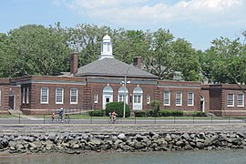
English: Governors Island is a 172-acre (70 ha) island in New York Harbor, within the borough of Manhattan in New York City, approximately 800 yards (732 m) south of Manhattan Island. Governors Island National Monument was designated in 2001 to preserve Castle Williams, Fort Jay, four adjacent buildings (107, 140, 251, 513), and pier 102.
Maps
[edit]See also: Current official map and NPS map
-
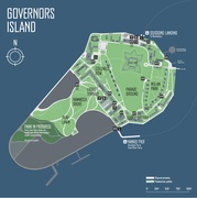
2014 map of redevelopment plans
-
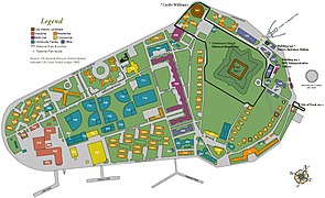
1995 USCG map with national monument boundaries added
-
1908 map
-
Lower Manhattan, c. 1884
Castle Williams
[edit]-
Aerial view
-
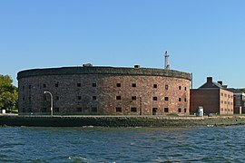
Harbor side
-
Island side
-
Entrance
-
Courtyard
-
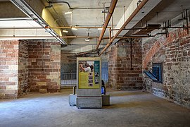
Interior
-
Prison cells
-
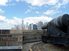
Cannon and skyline
Fort Jay
[edit]-
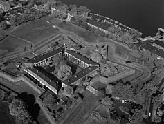
Aerial view
-
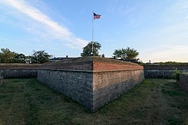
Ravelin and flagpole
-
Ravelin and city skyline, pre-9/11
-
Same view, 2019
-
Statue at entrance
-
Officers' quarters
-
15-inch and 10-inch Rodman guns
-
10-inch Rodman
Nolan Park
[edit]-
Aerial view
-
Lawn and trees
-
A yellow house
-
Building #12
-
Governor's House
-
Admiral's House
-
Block House
-
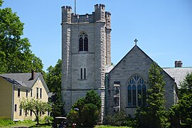
St Cornelius Chapel
Other buildings
[edit]-
Building 140 - entrance station
-
Building 301
-
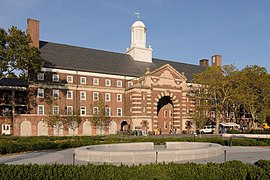
Building 400 - Liggett Hall
-
Liggett Hall (left) and building 333 (right)
-
Building 550 - New York Harbor School since 2010
-
Building 515 - hospital
-
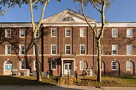
Buildings 406 and 407 - Colonels Row
-
Buildings 406, 407, 408 - Colonels Row
General
[edit]-
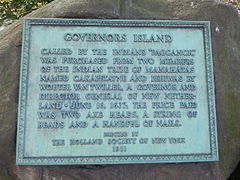
Marker
-
Lower Manhattan from Outlook Hill
-
Panorama from Outlook Hill
-
Path and city skyline
-
Island from One World Trade Center
-
Island from Brooklyn Heights
