File:Yugoslavia (1929-1939) location map.svg

Original file (SVG file, nominally 1,220 × 1,057 pixels, file size: 407 KB)
Captions
Captions
Summary
[edit]| Description |
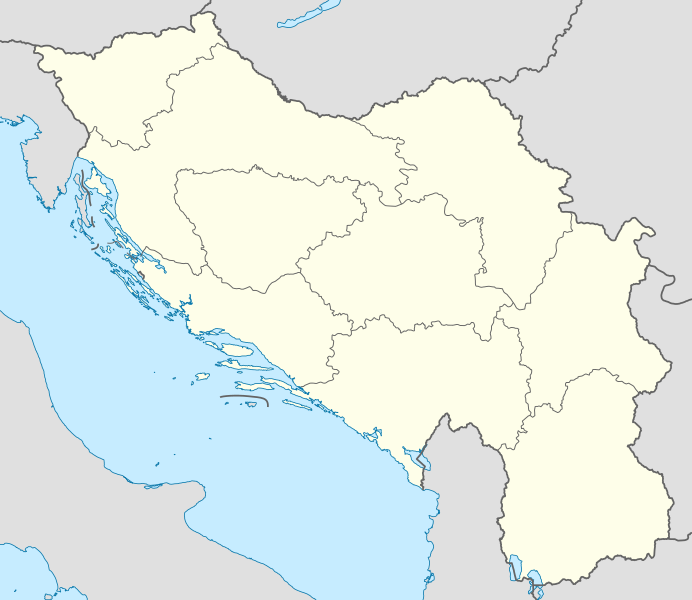
Deutsch: Positionskarte von Jugoslawien (1929–1939)
Quadratische Plattkarte, N-S-Streckung 139 %. Geographische Begrenzung der Karte:
English: Location map of Yugoslavia (1929–1939)
Equirectangular projection, N/S stretching 139 %. Geographic limits of the map:
|
|
| Date | ||
| Source |
Own work using
|
|
| Author | NordNordWest | |
| Permission (Reusing this file) |
This file is licensed under the Creative Commons Attribution-Share Alike 3.0 Germany license.
 This file is licensed under the Creative Commons Attribution-Share Alike 3.0 Germany license.
|
|
| Other versions |
|

_location_map.svg)
_location_map.svg)
_location_map.svg&action=edit§ion=1)

|
This map has been made or improved in the German Kartenwerkstatt (Map Lab). You can propose maps to improve as well.
|
File history
Click on a date/time to view the file as it appeared at that time.
| Date/Time | Thumbnail | Dimensions | User | Comment | |
|---|---|---|---|---|---|
| current | 18:22, 6 August 2013 | | 1,220 × 1,057 (407 KB) | NordNordWest (talk | contribs) | c |
| 19:38, 10 October 2011 |  | 1,220 × 1,057 (407 KB) | NordNordWest (talk | contribs) | == {{int:filedesc}} == {{Information |Description= {{de|Positionskarte von Jugoslawien (1929–1939)}} Quadratische Plattkarte, N-S-Streckung 139 %. Geographische Begrenzung der Karte: * N: 47.0° N * S: 40.7° N * W: 13.2° O * O: 2 |
You cannot overwrite this file.
File usage on Commons
The following 3 pages use this file:
File usage on other wikis
The following other wikis use this file:
- Usage on als.wikipedia.org
- Usage on ar.wikipedia.org
- Usage on bs.wikipedia.org
- Usage on de.wikipedia.org
- Vorlage:Positionskarte Jugoslawien
- 1. jugoslawische Fußballliga 1923
- 1. jugoslawische Fußballliga 1924
- 1. jugoslawische Fußballliga 1925
- 1. jugoslawische Fußballliga 1926
- 1. jugoslawische Fußballliga 1927
- 1. jugoslawische Fußballliga 1928
- 1. jugoslawische Fußballliga 1929
- 1. jugoslawische Fußballliga 1930
- 1. jugoslawische Fußballliga 1930/31
- 1. jugoslawische Fußballliga 1931/32
- 1. jugoslawische Fußballliga 1932/33
- 1. jugoslawische Fußballliga 1934/35
- 1. jugoslawische Fußballliga 1935/36
- 1. jugoslawische Fußballliga 1936/37
- 1. jugoslawische Fußballliga 1937/38
- 1. jugoslawische Fußballliga 1938/39
- Usage on en.wikipedia.org
- Usage on es.wikipedia.org
- Usage on fr.wikipedia.org
- Usage on it.wikipedia.org
- Državno prvenstvo 1938-1939
- Državno prvenstvo 1937-1938
- Državno prvenstvo 1936-1937
- Državno prvenstvo 1935-1936
- Državno prvenstvo 1934-1935
- Državno prvenstvo 1932-1933
- Državno prvenstvo 1931-1932
- Državno prvenstvo 1930-1931
- Državno prvenstvo 1930
- Državno prvenstvo 1929
- Državno prvenstvo 1928
- Državno prvenstvo 1927
- Državno prvenstvo 1926
- Državno prvenstvo 1925
- Državno prvenstvo 1924
- Državno prvenstvo 1923
- Template:Mappa di localizzazione/YUG (1929-1939)
- Prvi razred
- Petrovgradski loptački podsavez
- Novosadski loptački podsavez
View more global usage of this file.
_location_map.svg)
_location_map.svg&oldid=897058769)