File:Winterthur Dättnau Wildkarte 1843.tif

Original file (1,356 × 1,792 pixels, file size: 4.23 MB, MIME type: image/tiff)
Captions
Captions
Summary
[edit]| Description |
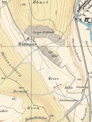
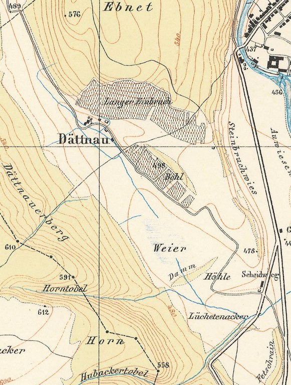
Deutsch: Wildkarte von 1843; Ausschnitt Quartier Dättnau. |
|||||
| Date | ||||||
| Source | https://maps.zh.ch | |||||
| Author | Johannes Wild | |||||
| Permission (Reusing this file) |
|
|||||

File history
Click on a date/time to view the file as it appeared at that time.
| Date/Time | Thumbnail | Dimensions | User | Comment | |
|---|---|---|---|---|---|
| current | 09:19, 17 September 2018 |  | 1,356 × 1,792 (4.23 MB) | Fundriver (talk | contribs) | {{Information |Description ={{de|1=Wildkarte von 1843; Ausschnitt Quartier Dättnau.}} |Source =https://maps.zh.ch |Author =Johannes Wild |Date =1843 |Permission ={{PD-scan}} |other_versions = }} Category:Maps of Winterthur Quarters Category:Wild-Karte Category:Dättnau |
You cannot overwrite this file.
File usage on Commons
There are no pages that use this file.