File:West Coast of North America satellite orthographic.png
Jump to navigation
Jump to search
Size of this preview: 229 × 598 pixels. Other resolutions: 92 × 240 pixels | 383 × 1,000 pixels.
Original file (383 × 1,000 pixels, file size: 467 KB, MIME type: image/png)
Captions
Captions
Add a one-line explanation of what this file represents
Summary
[edit]
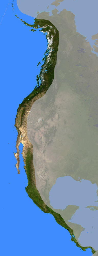
| Description | West coast of North America on the Pacific Ocean satellite orthographic projection.. |
| Date | |
| Source | base map is PD from NASA; alterations by author |
| Author | NorCalHistory |
Licensing
[edit]

|
Permission is granted to copy, distribute and/or modify this document under the terms of the GNU Free Documentation License, Version 1.2 or any later version published by the Free Software Foundation; with no Invariant Sections, no Front-Cover Texts, and no Back-Cover Texts. A copy of the license is included in the section entitled GNU Free Documentation License. |
| This file is licensed under the Creative Commons Attribution-Share Alike 3.0 Unported license. | ||
| ||
| This licensing tag was added to this file as part of the GFDL licensing update. |
File history
Click on a date/time to view the file as it appeared at that time.
| Date/Time | Thumbnail | Dimensions | User | Comment | |
|---|---|---|---|---|---|
| current | 08:56, 3 January 2007 | 383 × 1,000 (467 KB) | NorCalHistory (talk | contribs) | {{Information |Description= West coast of North America satellite orthographic projection |Source= base map is PD from NASA; alterations by author |Date= 2007-0102 |Author= NorCalHistory |Permission= |other_versions= }} | |
| 08:55, 3 January 2007 | 383 × 1,000 (467 KB) | NorCalHistory (talk | contribs) | {{Information |Description= West coast of North America satellite orthographic projection |Source= base map is PD from NASA; alterations by author |Date= 2007-0102 |Author= NorCalHistory |Permission= |other_versions= }} |
You cannot overwrite this file.
File usage on Commons
There are no pages that use this file.
File usage on other wikis
The following other wikis use this file:
- Usage on ar.wikipedia.org
- Usage on en.wikipedia.org
- Usage on es.wikipedia.org
Categories:
- Satellite pictures of North America
- Maps of North America
- Coasts of the Pacific Ocean
- Coasts of Mexico
- West Coast of the United States
- California Coast
- Coasts of Canada
- Maps of Baja California Sur
- Maps of Baja California
- Maps of Sonora
- Maps of California
- Maps of Oregon
- Maps of Washington (state)
- Maps of British Columbia
- Maps of Alaska
- History of North America
- Maps with orthographic projection (cropped)