File:Watershed protection map, Tuscumbia River watershed - Alcorn and Prentiss counties, Mississippi, McNairy County, Tennessee LOC 89697252.tif
Jump to navigation
Jump to search

Size of this JPG preview of this TIF file: 310 × 600 pixels. Other resolutions: 124 × 240 pixels | 248 × 480 pixels | 397 × 768 pixels | 529 × 1,024 pixels | 1,058 × 2,048 pixels | 3,474 × 6,723 pixels.
Original file (3,474 × 6,723 pixels, file size: 66.82 MB, MIME type: image/tiff)
Captions
Captions
Add a one-line explanation of what this file represents
Summary
[edit]| Description |
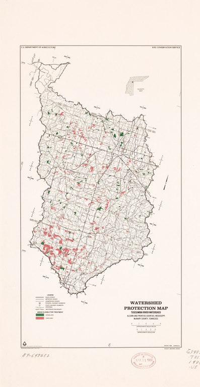
English: In lower right margin: August 1988 1004054-01 -- August 1988 Base 1004054. Shows areas eligible for treatment, i.e. grassland and cropland. "Source: Data compiled by SCS Field Personnel." Includes location map. Available also through the Library of Congress Web site as a raster image. |
||
| Title | Watershed protection map, Tuscumbia River watershed : Alcorn and Prentiss counties, Mississippi, McNairy County, Tennessee | ||
| Shelf ID | G3982.T85 1988 .U5 | ||
| Date | |||
| Source | https://www.loc.gov/item/89697252/ | ||
| Author | United States. Soil Conservation Service; National Cartographic Center (U.S.) | ||
| Permission (Reusing this file) |
|
||
| Other versions |
|
||
| Location | United States · Mississippi · Tennessee · Tuscumbia River Canal Watershed · Tuscumbia River Canal Watershed. | ||
| Part of | American Memory · Catalog · Geography And Map Division · Additional Conservation And Environment Cartographic Items | ||
| Subject | Mississippi · Tuscumbia River Canal Watershed (Miss. And Tenn.) · Tuscumbia River Canal Watershed · Watershed Management · United States · Maps · Tennessee |


Licensing
[edit]| This work is from the Library of Congress. According to the library, there are no known copyright restrictions on the use of this work. |  |
File history
Click on a date/time to view the file as it appeared at that time.
| Date/Time | Thumbnail | Dimensions | User | Comment | |
|---|---|---|---|---|---|
| current | 23:08, 16 February 2019 |  | 3,474 × 6,723 (66.82 MB) | Fæ (talk | contribs) | LOC Maps https://www.loc.gov/item/89697252/ #21930 |
You cannot overwrite this file.
File usage on Commons
The following page uses this file: