File:Waldsiedlung Hakenfelde Luftbild.jpg
Jump to navigation
Jump to search
Size of this preview: 623 × 600 pixels. Other resolutions: 249 × 240 pixels | 499 × 480 pixels | 798 × 768 pixels | 1,064 × 1,024 pixels | 2,127 × 2,048 pixels | 5,512 × 5,307 pixels.
Original file (5,512 × 5,307 pixels, file size: 6.19 MB, MIME type: image/jpeg)
Captions
Captions
Add a one-line explanation of what this file represents
Summary
[edit]
| Title |
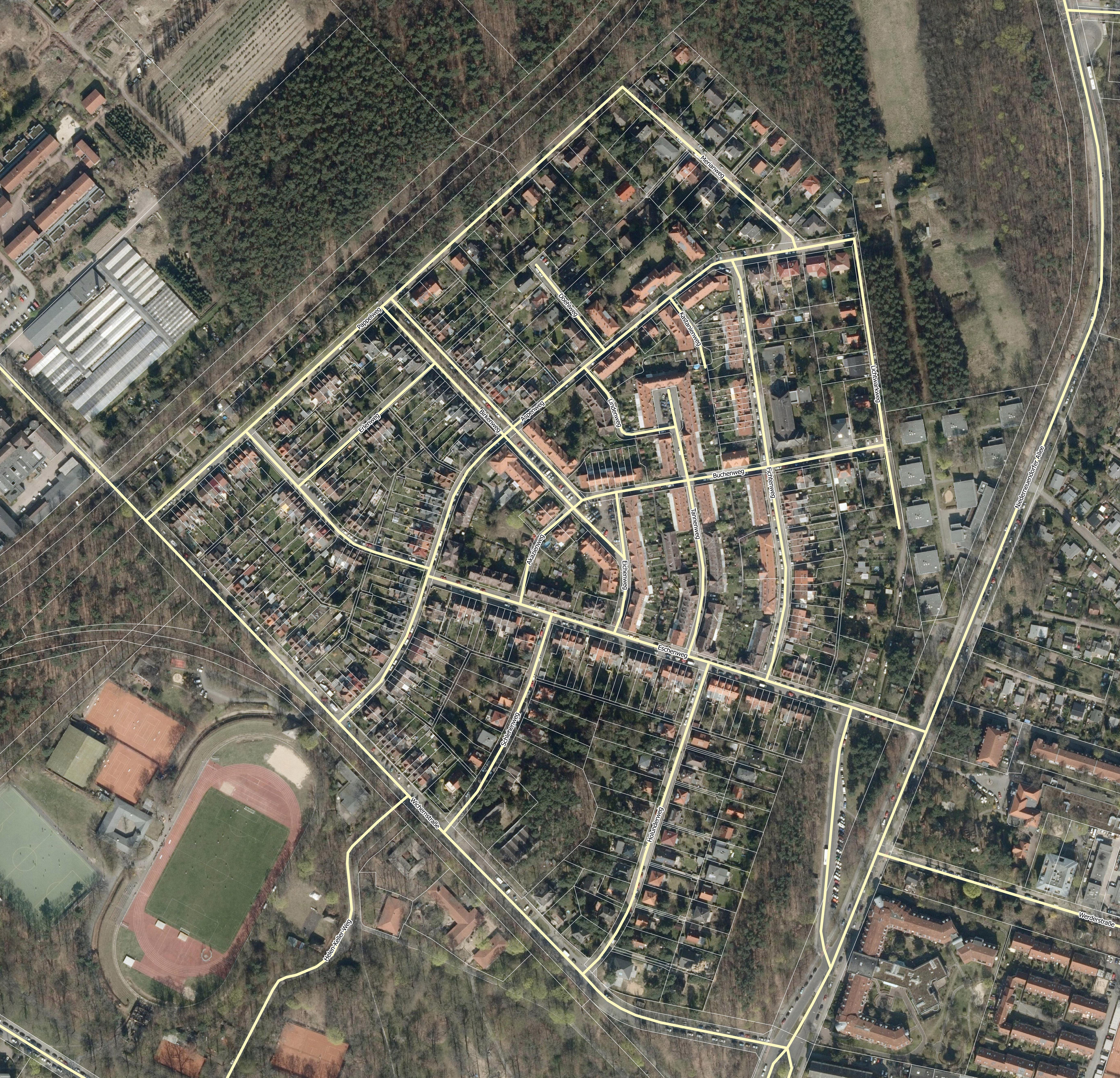
Deutsch: Luftbild der Waldsiedlung Hakenfelde von 2014 |
| Date | |
| Source |
own work, using
|
| Creator | |
| Geotemporal data | |
| Date depicted | |
| Map location | Berlin-Hakenfelde |
| Spatial reference system | ETRS89 / UTM zone 33N |
Licensing
[edit]

|
This file is licensed under the terms of the Nutzungsbedingungen of the Senatsverwaltung für Stadtentwicklung und Umwelt Berlin. |
|
You are free:
Under the following conditions:
The terms of the Nutzungsbedingungen have been archived in the OTRS system, see Ticket:2014052710020188. |
File history
Click on a date/time to view the file as it appeared at that time.
| Date/Time | Thumbnail | Dimensions | User | Comment | |
|---|---|---|---|---|---|
| current | 20:57, 1 August 2016 | | 5,512 × 5,307 (6.19 MB) | Alexrk2 (talk | contribs) | == {{int:description}} == {{Map |title={{de|Luftbild der Waldsiedlung Hakenfelde von 2014}} |description= |legend= |author=Alexrk2 |date=2016-08 |source=own work, using * Geoportal Berlin / Digitale farbige Orthophotos 2014 (DO... |
You cannot overwrite this file.
File usage on Commons
There are no pages that use this file.
File usage on other wikis
The following other wikis use this file:
- Usage on de.wikipedia.org