File:WWII Occupied Yugoslavia Locator Map.png
Jump to navigation
Jump to search
Size of this preview: 659 × 600 pixels. Other resolutions: 264 × 240 pixels | 528 × 480 pixels | 844 × 768 pixels | 1,210 × 1,101 pixels.
Original file (1,210 × 1,101 pixels, file size: 255 KB, MIME type: image/png)
Captions
Captions
Add a one-line explanation of what this file represents
Summary
[edit]
| Description |
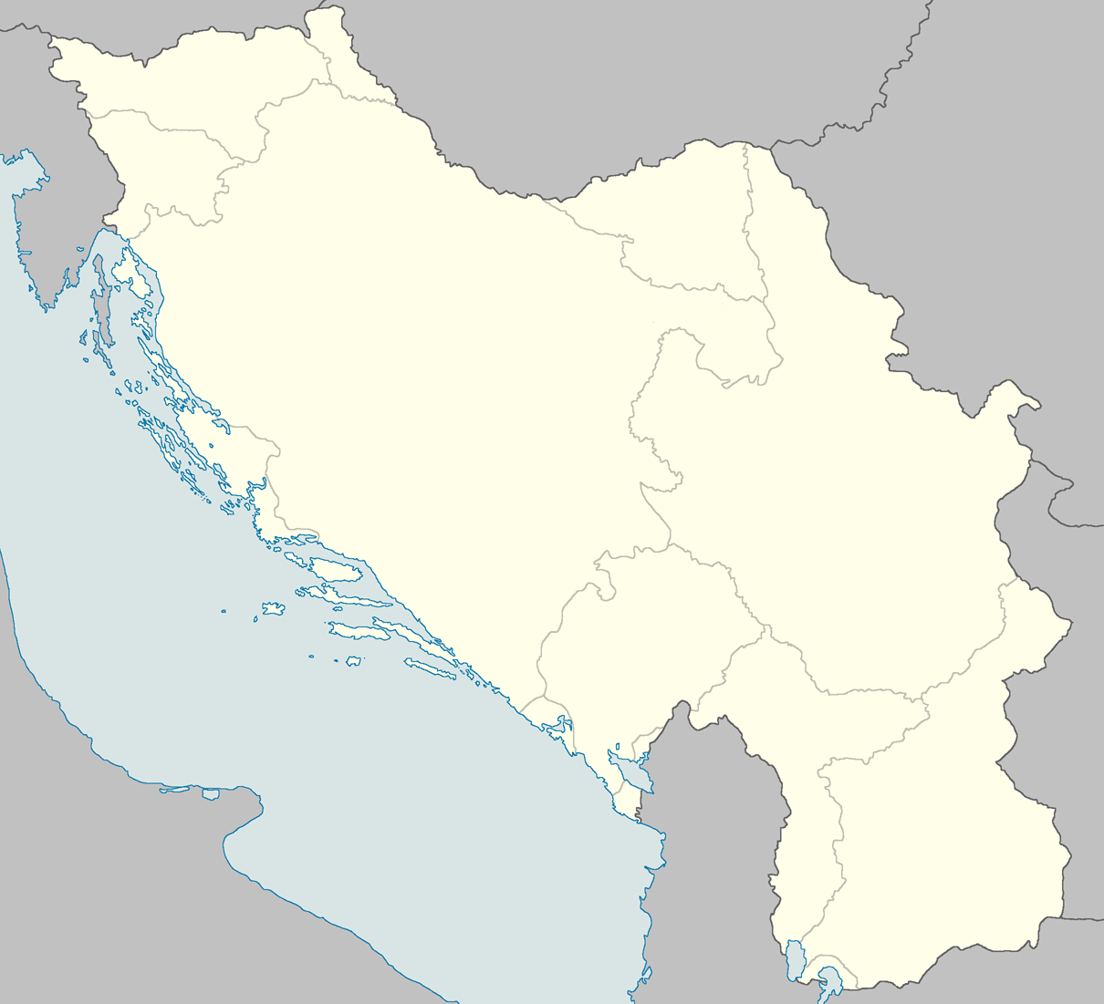
English: Locator map of occupied Yugoslavia in WWII showing regions of occupation. |
| Date | |
| Source | Own work: from: Ungarn 1 : 1,000,000. Verwaltungskarte bearbeitet von der Publikationsstelle Wien. Die Karte beruht auf dem Verwaltungstand vom 1. IX. 1943; Croatia OR 5360 (1:1 000 000) London : War Office, 1941; Kraljevina Jugoslavija MDR Misc 7596 (1:2 800 000), Great Britain. Army. Royal Engineers. Map Reproduction Section, 1944; and Volkstumskarte von Jugoslawien (1:200 000) Wilfried Krallert, Wien, (1941) |
| Author | XrysD |
Licensing
[edit]
I, the copyright holder of this work, hereby publish it under the following license:
This file is licensed under the Creative Commons Attribution-Share Alike 3.0 Unported license.
- You are free:
- to share – to copy, distribute and transmit the work
- to remix – to adapt the work
- Under the following conditions:
- attribution – You must give appropriate credit, provide a link to the license, and indicate if changes were made. You may do so in any reasonable manner, but not in any way that suggests the licensor endorses you or your use.
- share alike – If you remix, transform, or build upon the material, you must distribute your contributions under the same or compatible license as the original.
File history
Click on a date/time to view the file as it appeared at that time.
| Date/Time | Thumbnail | Dimensions | User | Comment | |
|---|---|---|---|---|---|
| current | 19:00, 24 April 2013 | | 1,210 × 1,101 (255 KB) | XrysD (talk | contribs) | User created page with UploadWizard |
You cannot overwrite this file.
File usage on Commons
There are no pages that use this file.
File usage on other wikis
The following other wikis use this file:
- Usage on ar.wikipedia.org
- Usage on ceb.wikipedia.org
- Usage on en.wikipedia.org
- Banjica concentration camp
- Sajmište concentration camp
- Battle of Dražgoše
- Topovske Šupe concentration camp
- Prebilovci massacre
- No. 351 Squadron RAF
- List of mass executions and massacres in Yugoslavia during World War II
- Zaharije Ostojić
- Module:Location map/data/Occupied Yugoslavia/doc
- Hawker Hurricane in Yugoslav service
- Module:Location map/data/Occupied Yugoslavia
- Lepoglava concentration camp
- Pridvorica massacre
- Usage on fr.wikipedia.org
- Usage on kn.wikipedia.org
- Usage on si.wikipedia.org
- Usage on sr.wikipedia.org
- Usage on tr.wikipedia.org
- Usage on uz.wikipedia.org
- Usage on war.wikipedia.org