File:Vredefort Crater, South Africa, OLI satellite image, 27 June 2018.jpg
Jump to navigation
Jump to search

Size of this preview: 372 × 599 pixels. Other resolutions: 149 × 240 pixels | 298 × 480 pixels | 477 × 768 pixels | 636 × 1,024 pixels | 1,273 × 2,048 pixels | 3,684 × 5,928 pixels.
Original file (3,684 × 5,928 pixels, file size: 9.32 MB, MIME type: image/jpeg)
Captions
Captions
Add a one-line explanation of what this file represents
Summary
[edit]| Description |
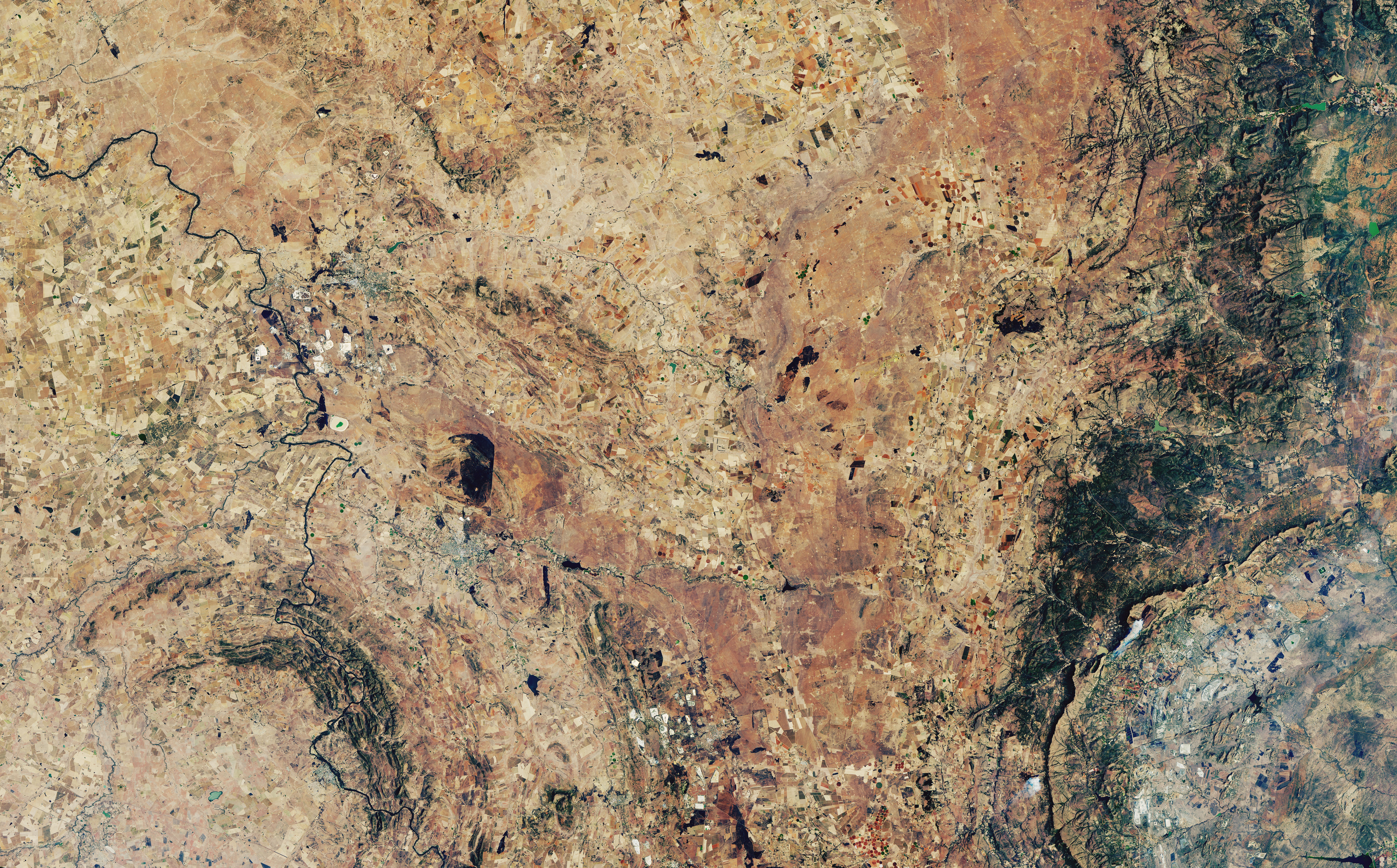
English: Satellite image of the area between South Africa's Maqaliesberg mountain range in the north-east and the Vredefort Crater in the south-east. |
| Source | Image and description |
| Author | NASA Earth Observatory image created by Lauren Dauphin, using Operational Land Imager (OLI) on Landsat 8; data provided courtesy of the U.S. Geological Survey team. |
Licensing
[edit]| This file is in the public domain in the United States because it was solely created by NASA. NASA copyright policy states that "NASA material is not protected by copyright unless noted". (See Template:PD-USGov, NASA copyright policy page or JPL Image Use Policy.) | ||
 |
Warnings:
|


File history
Click on a date/time to view the file as it appeared at that time.
| Date/Time | Thumbnail | Dimensions | User | Comment | |
|---|---|---|---|---|---|
| current | 21:11, 20 July 2022 | | 3,684 × 5,928 (9.32 MB) | SteinsplitterBot (talk | contribs) | Bot: Image rotated by 270° |
| 09:16, 20 July 2022 |  | 5,929 × 3,684 (9.22 MB) | Maqdisi (talk | contribs) | == {{int:filedesc}} == {{Information |Description = {{en|1=Satellite image of South Africa's Vredefort Crater.}} |Source = [https://eoimages.gsfc.nasa.gov/images/imagerecords/92000/92689/vredefort_oli_2018178_lrg.jpg Image] and [https://earthobservatory.nasa.gov/images/92689/vredefort-crater description] |Date = |Author = NASA Earth Observatory image created by Lauren Dauphin, using Operational Land Imager (OLI) on Landsat 8; data provided courtesy of the U.S. Geo... |
You cannot overwrite this file.
File usage on Commons
The following 2 pages use this file: