File:Viktring Stift Suedost Ansicht 01022010 445.jpg
Jump to navigation
Jump to search

Size of this preview: 800 × 532 pixels. Other resolutions: 320 × 213 pixels | 640 × 426 pixels | 1,024 × 681 pixels | 1,280 × 852 pixels | 2,560 × 1,703 pixels | 4,256 × 2,832 pixels.
Original file (4,256 × 2,832 pixels, file size: 3.89 MB, MIME type: image/jpeg)
Captions
Captions
Add a one-line explanation of what this file represents
Summary
[edit]| Description |
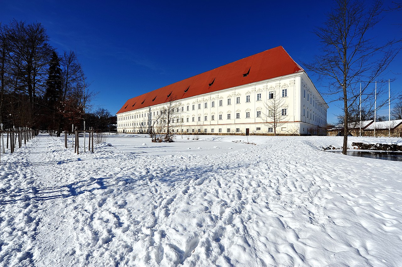
English: Southeastern view at the cistercian monastery, 13th district Viktring, municipality Klagenfurt on the Lake Woerth, Carinthia, Austria
Deutsch: SO-Ansicht vom Zisterzienserstift, XIII. Bezirk Viktring, Staturstadt Klagenfurt, Kärnten, Österreich, EU
|
||
| Date | |||
| Source | Own work | ||
| Author | Johann Jaritz | ||
| Permission (Reusing this file) |
I, the copyright holder of this work, hereby publish it under the following licenses:
This file is licensed under the Creative Commons Attribution-Share Alike 3.0 Austria license.
 You may select the license of your choice. |

| Camera location | | View this and other nearby images on: OpenStreetMap |
|---|
| Object location | | View this and other nearby images on: OpenStreetMap |
|---|
File history
Click on a date/time to view the file as it appeared at that time.
| Date/Time | Thumbnail | Dimensions | User | Comment | |
|---|---|---|---|---|---|
| current | 16:55, 1 February 2010 | | 4,256 × 2,832 (3.89 MB) | Johann Jaritz (talk | contribs) | {{Information |Description={{en|1=View from the south-east at the cistercian monastery Viktring in Klagenfurt on the Lake Woerth, Carinthia, Austria}} {{de|1=Südostansicht des Stifts Viktring in Klagenfurt am Wörther See, Kärnten, Österreich}} |Source |
You cannot overwrite this file.
File usage on Commons
The following 2 pages use this file:
File usage on other wikis
The following other wikis use this file: