File:Vanua Lava Landsat.jpg
Jump to navigation
Jump to search
Size of this preview: 576 × 600 pixels. Other resolutions: 230 × 240 pixels | 461 × 480 pixels | 940 × 979 pixels.
Original file (940 × 979 pixels, file size: 366 KB, MIME type: image/jpeg)
Captions
Captions
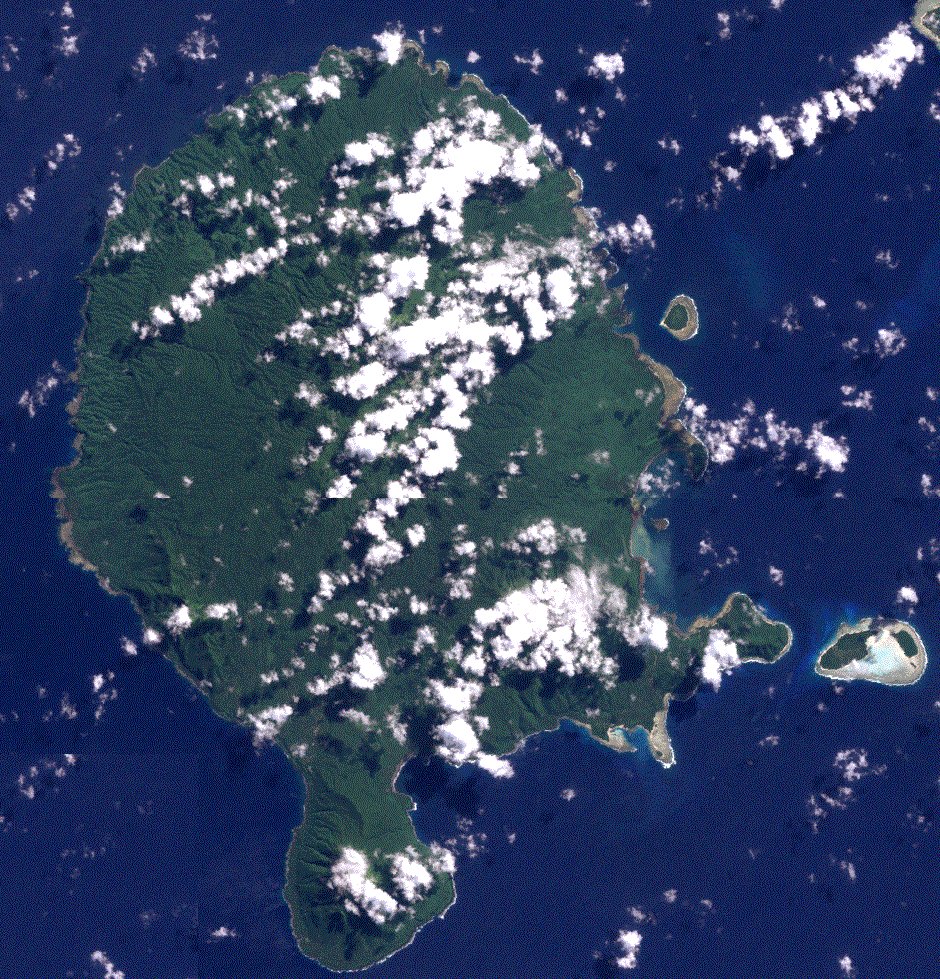
Vanua Lava, Vanuatu islands, from space (Landsat 7)
Summary
[edit]
| Description |
English: Vanua Lava in the Banks island group in the northern of Vanuatu. Satellite picture in Landsat 7 missision. |
| Date | |
| Source | https://oceancolor.gsfc.nasa.gov/cgi/landsat_extract.pl?path=82&row=70&x=1223&y=-1894&n=0&t=321 |
| Author | NASA |
Licensing
[edit]
| This file is in the public domain in the United States because it was solely created by NASA. NASA copyright policy states that "NASA material is not protected by copyright unless noted". (See Template:PD-USGov, NASA copyright policy page or JPL Image Use Policy.) | ||
 |
Warnings:
|
File history
Click on a date/time to view the file as it appeared at that time.
| Date/Time | Thumbnail | Dimensions | User | Comment | |
|---|---|---|---|---|---|
| current | 13:24, 25 December 2019 | | 940 × 979 (366 KB) | Zollwurf (talk | contribs) | User created page with UploadWizard |
You cannot overwrite this file.
File usage on Commons
The following page uses this file: