File:Valdai Valday 2024-03 1710260518.tif
Jump to navigation
Jump to search

Size of this JPG preview of this TIF file: 800 × 530 pixels. Other resolutions: 320 × 212 pixels | 640 × 424 pixels | 1,024 × 679 pixels | 1,280 × 849 pixels | 2,560 × 1,697 pixels | 3,089 × 2,048 pixels.
Original file (3,089 × 2,048 pixels, file size: 18.12 MB, MIME type: image/tiff)
Captions
Captions
Add a one-line explanation of what this file represents
Summary
[edit]| Description |
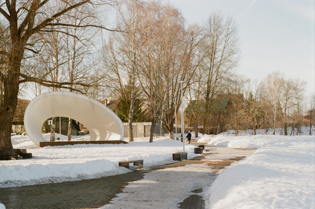
English: city or town Valday
Русский: город Валдай
Deutsch: Stadtsiedlung Waldai
Français : ville ou village Valdaï
Italiano: città o paese Valdaj
Español: ciudad/pueblo Valdái
Українська: місто/містечко Валдай
Беларуская: горад Валдай
日本語: 都市・街 ヴァルダイ
Esperanto: urbo Valdaj
|
||||||||||||||||||||||||||
| Date | Taken on 12 March 2024, 16:21:58 (according to Exif data) | ||||||||||||||||||||||||||
| Source | Own work | ||||||||||||||||||||||||||
| Author |
|
||||||||||||||||||||||||||
.jpg)
| Camera location | | View this and other nearby images on: OpenStreetMap |
|---|
| Object location | | View this and other nearby images on: OpenStreetMap |
|---|
Licensing
[edit]Artem Svetlov, the copyright holder of this work, hereby publishes it under the following license:
This file is licensed under the Creative Commons Attribution 4.0 International license.
Attribution: Artem Svetlov
- You are free:
- to share – to copy, distribute and transmit the work
- to remix – to adapt the work
- Under the following conditions:
- attribution – You must give appropriate credit, provide a link to the license, and indicate if changes were made. You may do so in any reasonable manner, but not in any way that suggests the licensor endorses you or your use.
File history
Click on a date/time to view the file as it appeared at that time.
| Date/Time | Thumbnail | Dimensions | User | Comment | |
|---|---|---|---|---|---|
| current | 22:11, 12 April 2024 |  | 3,089 × 2,048 (18.12 MB) | Svetlov Artem (talk | contribs) | == {{int:filedesc}} == {{Information |description={{en|1=city or town Valday}} {{ru|1=город Валдай}} {{de|1=Stadtsiedlung Waldai}} {{fr|1=ville ou village Valdaï}} {{it|1=città o paese Valdaj}} {{es|1=ciudad/pueblo Valdái}} {{uk|1=місто/містечко Валдай}} {{be|1=горад Валдай}} {{ja|1=都市・街 ヴァルダイ}} {{eo|1=urbo Valdaj}} {{on Wikidata|Q132947}} {{on Wikidata|Q22746}} {{on Wikidata|Q22079390}} |date={{Taken on|2024-03-12T16:21:58|location=Novgorod Oblast|source=EXIF}} |source={{own}} |... |
You cannot overwrite this file.
File usage on Commons
There are no pages that use this file.