File:Upper Lusatia location map rivers.png
Jump to navigation
Jump to search

Size of this preview: 800 × 547 pixels. Other resolutions: 320 × 219 pixels | 640 × 437 pixels | 1,024 × 700 pixels | 1,280 × 875 pixels | 2,271 × 1,552 pixels.
Original file (2,271 × 1,552 pixels, file size: 831 KB, MIME type: image/png)
Captions
Captions
Add a one-line explanation of what this file represents
Summary
[edit]
| Description |
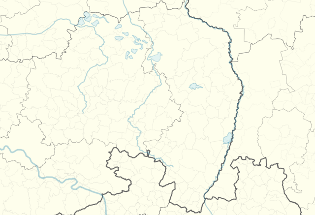
Deutsch: Positionskarte der Oberlausitz mit Flüssen und Seen.
Hornjoserbsce: Poziciska karta Hornjeje Łužicy z rěkami a jězorami.
50.814 N ↕ 51.584 N / 13.650 O ↔ 15.453 O |
| Date | |
| Source | Own work, based on File:Upper Lusatia location map.png by Maximilian Dörrbecker (Chumwa) and File:Saxony location map.svg by TUBS |
| Author | Julian Nyča |
Licensing
[edit]
I, the copyright holder of this work, hereby publish it under the following license:
This file is licensed under the Creative Commons Attribution-Share Alike 2.0 Generic license.
- You are free:
- to share – to copy, distribute and transmit the work
- to remix – to adapt the work
- Under the following conditions:
- attribution – You must give appropriate credit, provide a link to the license, and indicate if changes were made. You may do so in any reasonable manner, but not in any way that suggests the licensor endorses you or your use.
- share alike – If you remix, transform, or build upon the material, you must distribute your contributions under the same or compatible license as the original.
File history
Click on a date/time to view the file as it appeared at that time.
| Date/Time | Thumbnail | Dimensions | User | Comment | |
|---|---|---|---|---|---|
| current | 13:14, 4 October 2018 | | 2,271 × 1,552 (831 KB) | J budissin (talk | contribs) | User created page with UploadWizard |
You cannot overwrite this file.
File usage on Commons
There are no pages that use this file.
File usage on other wikis
The following other wikis use this file:
- Usage on hsb.wikipedia.org
- Budyšin
- Wotrow
- Rowno
- Jaseńca (Bóšicy)
- Wulki Wosyk
- Serbske Pazlicy
- Nuknica
- Njechorń
- Prawoćicy
- Pěskecy
- Praskow
- Pozdecy
- Prěčecy
- Běčicy
- Worcyn (Wóspork)
- Nosaćicy
- Šěrachow
- Žičeń
- Hućina
- Kózły (wjes)
- Žuricy
- Bronjo
- Łuh (Njeswačidło)
- Wužiwar:J budissin/Wjes
- Chróstawa
- Korzym
- Trjechow
- Rynar
- Miłoraz
- Nowe Jěžercy
- Klětno
- Jiwow
- Strawałd
- Časecy
- Habrachćicy/Sa.
- Batromjecy
- Běhany
- Kozarcy
- Kopšin
- Hórki
- Róžant
- Miłoćicy
- Załom pod Hrodźišćom
- Hłupońca
- Jawora (wjes)
- Kanecy
- Kašecy
- Lejno (Pančicy-Kukow)
- Nowe Městačko
- Stara Cyhelnica
View more global usage of this file.