File:Turkey, in Europe and Hungary, from the best authorities. NYPL1404027.tiff
Jump to navigation
Jump to search

Size of this JPG preview of this TIF file: 720 × 600 pixels. Other resolutions: 288 × 240 pixels | 576 × 480 pixels | 922 × 768 pixels | 1,229 × 1,024 pixels | 2,459 × 2,048 pixels | 6,300 × 5,248 pixels.
Original file (6,300 × 5,248 pixels, file size: 94.61 MB, MIME type: image/tiff)
Captions
Captions
Add a one-line explanation of what this file represents
Summary
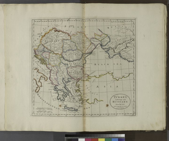
[edit]| Description | Turkey, in Europe and Hungary, from the best authorities.; Atlases, gazetteers, guidebooks and other books / Carey's general atlas, improved and enlarged : being a collection of maps of the world and quarters, their principal empires, kingdoms, etc | |||||||||||||||||||||||
| Catalogue call number | Map Div. ++02-286 | |||||||||||||||||||||||
| Item/Page/Plate | Pl. 46 | |||||||||||||||||||||||
| Standard reference | Phillips 1372 | |||||||||||||||||||||||
| Date | ||||||||||||||||||||||||
| Source |
http://digitalgallery.nypl.org/nypldigital/dgkeysearchdetail.cfm?imageID=1404027
|
|||||||||||||||||||||||
| Author |
|
|||||||||||||||||||||||
| Permission (Reusing this file) |
From The Lionel Pincus and Princess Firyal Map Division. http://maps.nypl.org
|
|||||||||||||||||||||||
| Source description | 1 atlas ([6] p., [103?] leaves of plates (some folded) : 58 hand col. maps ; 44 cm. | |||||||||||||||||||||||
| Location | Stephen A. Schwarzman Building / The Lionel Pincus and Princess Firyal Map Division | |||||||||||||||||||||||
| Digital item published | 11-3-2005; updated 3-25-2011 | |||||||||||||||||||||||
| Digital ID | 1404027 | |||||||||||||||||||||||


The making of this file was supported by Wikimedia UK.
To see other files made with the support of Wikimedia UK, please see the category Supported by Wikimedia UK.
|
File history
Click on a date/time to view the file as it appeared at that time.
| Date/Time | Thumbnail | Dimensions | User | Comment | |
|---|---|---|---|---|---|
| current | 12:16, 7 May 2014 |  | 6,300 × 5,248 (94.61 MB) | Fæ (talk | contribs) | GWToolset: Creating mediafile for Fæ. Tranche 4 -4989 restart @08:55 BST, 7 May 2014 |
You cannot overwrite this file.
File usage on Commons
There are no pages that use this file.
File usage on other wikis
The following other wikis use this file:
- Usage on sh.wikipedia.org