File:Tuira Oulu Map 20110621.svg
Jump to navigation
Jump to search

Size of this PNG preview of this SVG file: 800 × 439 pixels. Other resolutions: 320 × 176 pixels | 640 × 352 pixels | 1,024 × 562 pixels | 1,280 × 703 pixels | 2,560 × 1,406 pixels | 1,795 × 986 pixels.
Original file (SVG file, nominally 1,795 × 986 pixels, file size: 2.02 MB)
Captions
Captions
Add a one-line explanation of what this file represents
| Description |
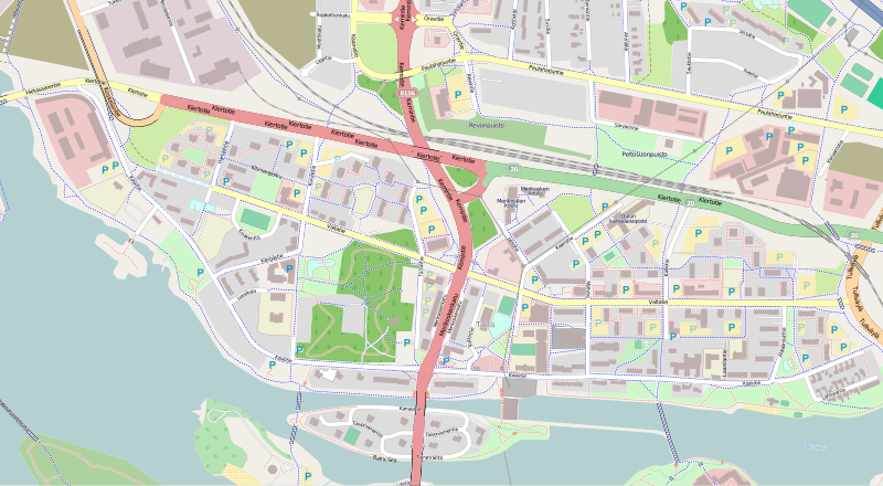
English: Map of Tuira neighbourhood in Oulu, Finland. Suomi: Tuiran kaupunginosan kartta. |
| Date | |
| Source | openstreetmap.org |
| Author | OpenStreetMap contributors |
| Description |
This map was created from OpenStreetMap project data, collected by the community. This map may be incomplete, and may contain errors. Don't rely solely on it for navigation. |
| Date | (see file history) |
| Source | openstreetmap.org |
| Creator |
OpenStreetMap contributors |
| Permission (Reusing this file) |
OpenStreetMap data and maps are licensed under the Creative Commons Attribution-ShareAlike 2.0 license (CC-BY-SA 2.0). This file is licensed under the Creative Commons Attribution-Share Alike 2.0 Generic license.
|
| Georeferencing | If inappropriate please set warp_status = skip to hide. |
File history
Click on a date/time to view the file as it appeared at that time.
| Date/Time | Thumbnail | Dimensions | User | Comment | |
|---|---|---|---|---|---|
| current | 08:57, 21 June 2011 | | 1,795 × 986 (2.02 MB) | Estormiz (talk | contribs) | {{Information |Description={{en|Map of Tuira neighbourhood in Oulu, Finland.}} {{fi|Tuiran kaupunginosan kartta.}} |Source=openstreetmap.org |Date=2011-06-21 |Author=OpenStreetMap contributors |Permission= |other_versions= }} {{OpenStreetMap}} [[Categor |
You cannot overwrite this file.
File usage on Commons
There are no pages that use this file.
File usage on other wikis
The following other wikis use this file:
- Usage on fi.wikipedia.org