File:Tranchotkaart. Maastricht-Vroenhoven (cropped).jpg
Jump to navigation
Jump to search
Size of this preview: 727 × 599 pixels. Other resolutions: 291 × 240 pixels | 582 × 480 pixels | 883 × 728 pixels.
Original file (883 × 728 pixels, file size: 264 KB, MIME type: image/jpeg)
Captions
Captions
Add a one-line explanation of what this file represents
Summary
[edit]| Description |
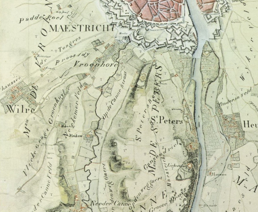
English: Detail of Tranchot map of 1803-1820 with the southwestern tip of the town of Maastricht and some villages in the municipalities of Vroenhoven and Sint Pieter. |
| Date | |
| Source | http://imagebase.ubvu.vu.nl/cdm/deepzoom/collection/krt/id/5629/show/5597 |
| Author | Jean Joseph Tranchot (ca 1810) |
| Other versions |

.jpg&action=edit§ion=1)
Licensing
[edit].jpg&action=edit§ion=2)
|
This work is in the public domain in its country of origin and other countries and areas where the copyright term is the author's life plus 70 years or fewer. This work is in the public domain in the United States because it was published (or registered with the U.S. Copyright Office) before January 1, 1929. | |
| This file has been identified as being free of known restrictions under copyright law, including all related and neighboring rights. | |
File history
Click on a date/time to view the file as it appeared at that time.
| Date/Time | Thumbnail | Dimensions | User | Comment | |
|---|---|---|---|---|---|
| current | 08:35, 3 February 2019 | | 883 × 728 (264 KB) | Kleon3 (talk | contribs) | File:Tranchotkaart. Maastricht-Vroenhoven.jpg cropped 33 % horizontally, 31 % vertically using CropTool with precise mode. |
You cannot overwrite this file.
File usage on Commons
The following page uses this file:
File usage on other wikis
The following other wikis use this file:
- Usage on nl.wikipedia.org
.jpg&oldid=721553190)