File:Tram map of Bydgoszcz.xcf

Original file (1,302 × 764 pixels, file size: 2.01 MB, MIME type: image/x-xcf)
Captions
Captions
|
|
Summary
[edit]| Description |
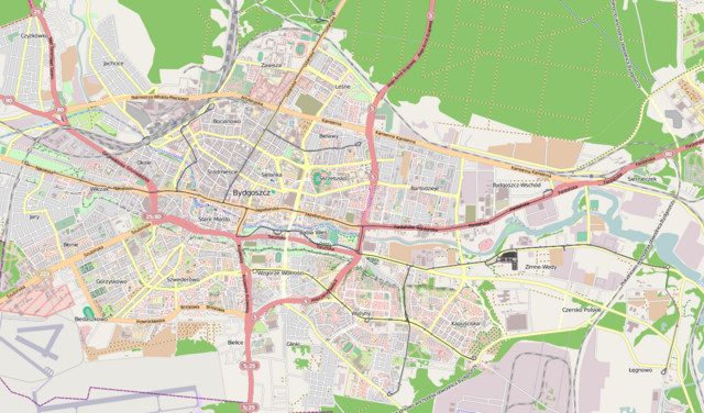
English: Tramway network of Bydgosczcz, Poland Deutsch: Topographischer Netzplan des Straßenbahnnetzes in Bydgosczcz, Polen |
|||
| Date | ||||
| Source | openstreetmap.org | |||
| Creator |
OpenStreetMap contributors |
|||
| Permission (Reusing this file) |
OpenStreetMap data is available under the Open Database License (details). Map tiles are licensed under the Creative Commons Attribution-ShareAlike 2.0 license (CC-BY-SA 2.0).
This file is licensed under the Creative Commons Attribution-Share Alike 2.0 Generic license.
|
|||
| Georeferencing | If inappropriate please set warp_status = skip to hide. |
File history
Click on a date/time to view the file as it appeared at that time.
| Date/Time | Thumbnail | Dimensions | User | Comment | |
|---|---|---|---|---|---|
| current | 19:21, 13 May 2013 |  | 1,302 × 764 (2.01 MB) | Bürgerentscheid (talk | contribs) | {{XCF}} == {{int:filedesc}} == {{Information |Description=Tramway network of Bydgoszcz |Date=2013-05-13 |Author= Bürgerentscheid |Source= Openstreetmap |Permission= |other_versions=[[File:Tram map of Bydgoszcz.png|thumb|left|... |
You cannot overwrite this file.
File usage on Commons
The following page uses this file:
- File:Tram map of Bydgosczcz.xcf (file redirect)