File:Totius Danubii Nova & Accuratiss. Tabula, Universam Simul Turciam Europæ am, Hungariam Magnam Germaniæ Partem Totam Penè Italiam (IA McGillLibrary-rbsc map totius-danubii-nova G6032D31690R3-18481).pdf
Jump to navigation
Jump to search

Size of this JPG preview of this PDF file: 686 × 599 pixels. Other resolutions: 275 × 240 pixels | 549 × 480 pixels | 879 × 768 pixels | 1,172 × 1,024 pixels | 2,344 × 2,048 pixels | 3,995 × 3,491 pixels.
Original file (3,995 × 3,491 pixels, file size: 31.15 MB, MIME type: application/pdf)
Captions
Captions
Add a one-line explanation of what this file represents
Summary
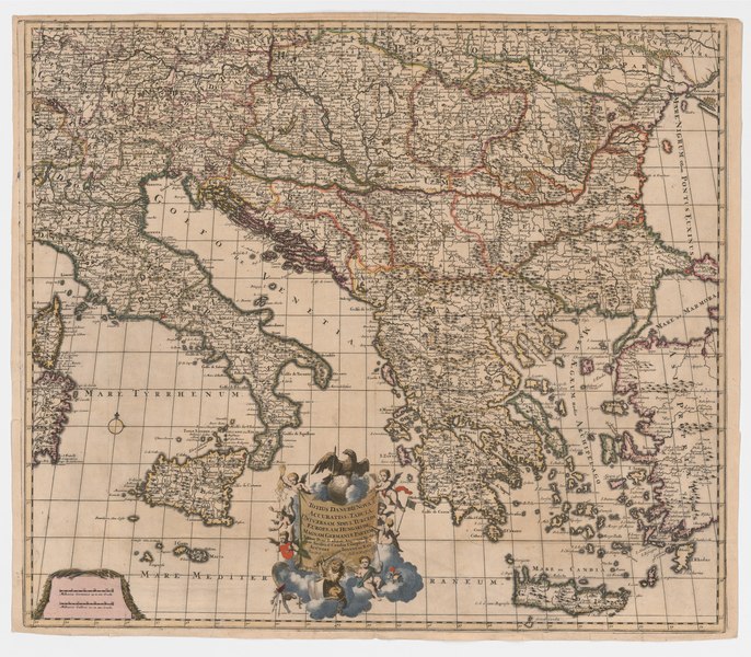
[edit]| Totius Danubii Nova & Accuratiss. Tabula, Universam Simul Turciam Europæ am, Hungariam Magnam Germaniæ Partem Totam Penè Italiam, Atqueunà Moream cum Sicilia & Candia Complecten
( |
|
|---|---|
| Author |
Ram, Johannes de, 1648-1693, cartographer, publisher |
| Title |
Totius Danubii Nova & Accuratiss. Tabula, Universam Simul Turciam Europæ am, Hungariam Magnam Germaniæ Partem Totam Penè Italiam, Atqueunà Moream cum Sicilia & Candia Complecten |
| Publisher |
[Amsterdam] : [Joanne de Ram] |
| Description |
Subjects: Danube River -- Maps -- Early works to 1800.; Italy -- Maps -- Early works to 1800.; Balkan Peninsula -- Maps -- Early works to 1800.; Europe, Central -- Maps -- Early works to 1800.; Europe, Eastern -- Maps -- Early works to 1800.; Early maps.; McGill University Library Digitized Title; Rare Books/Special Collections - Map Room; Early maps; Danube River -- Maps -- Early works to 1800; Italy -- Maps -- Early works to 1800; Balkan Peninsula -- Maps -- Early works to 1800; Europe, Central -- Maps -- Early works to 1800; Europe, Eastern -- Maps -- Early works to 1800; Balkan Peninsula; Danube River; Europe, Central; Europe, Eastern; Italy |
| Language | Latin |
| Publication date | 1690 |
| Current location |
IA Collections: mcgilluniversity; mcgilluniversityrarebooks; toronto |
| Accession number |
McGillLibrary-rbsc_map_totius-danubii-nova_G6032D31690R3-18481 |
| Source |
|
Licensing
[edit]|
This work is in the public domain in its country of origin and other countries and areas where the copyright term is the author's life plus 100 years or fewer. This work is in the public domain in the United States because it was published (or registered with the U.S. Copyright Office) before January 1, 1929. | |
| This file has been identified as being free of known restrictions under copyright law, including all related and neighboring rights. | |
File history
Click on a date/time to view the file as it appeared at that time.
| Date/Time | Thumbnail | Dimensions | User | Comment | |
|---|---|---|---|---|---|
| current | 18:47, 1 January 2021 |  | 3,995 × 3,491 (31.15 MB) | Fæ (talk | contribs) | IA Query "subject:maps date:[1000 TO 1869] " McGillLibrary-rbsc_map_totius-danubii-nova_G6032D31690R3-18481 Category:Old maps (COM:IA books#query) (1690 #353) |
You cannot overwrite this file.
File usage on Commons
The following page uses this file: