File:Tamis banat1718 1739 sr.png
Jump to navigation
Jump to search

Size of this preview: 465 × 599 pixels. Other resolutions: 186 × 240 pixels | 373 × 480 pixels | 1,008 × 1,298 pixels.
Original file (1,008 × 1,298 pixels, file size: 134 KB, MIME type: image/png)
Captions
Captions
Add a one-line explanation of what this file represents
Summary
[edit]
| Description |
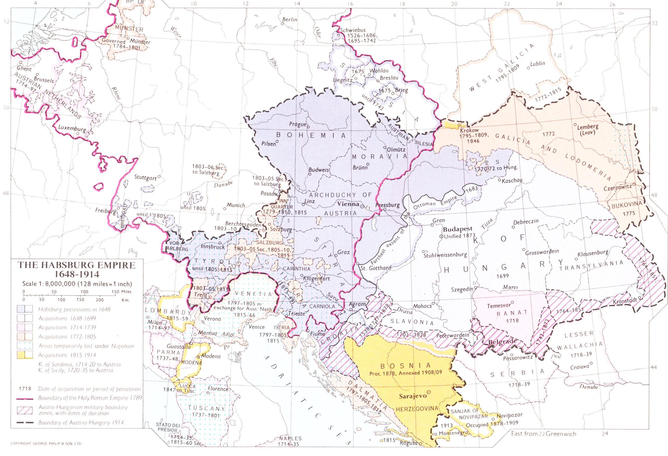
English: Map of the Banat of Temeswar, Kingdom of Serbia and Military Frontier in 1718.
Српски / srpski: Мапа Тамишког Баната, Краљевине Србије и војне границе 1718. године. |
| Date | |
| Source | Own work |
| Author | PANONIAN |
Licensing
[edit]
I, the copyright holder of this work, hereby publish it under the following license:
| This file is made available under the Creative Commons CC0 1.0 Universal Public Domain Dedication. | |
| The person who associated a work with this deed has dedicated the work to the public domain by waiving all of their rights to the work worldwide under copyright law, including all related and neighboring rights, to the extent allowed by law. You can copy, modify, distribute and perform the work, even for commercial purposes, all without asking permission.
|
References
[edit]
- The Times History of Europe, Times Books, London, 2002.
- Istorijski atlas, Zavod za udžbenike i nastavna sredstva - Zavod za kartografiju "Geokarta", Beograd, 1999.
- Školski istorijski atlas, Zavod za izdavanje udžbenika Socijalističke Republike Srbije, Beograd, 1970.
- Denis Šehić - Demir Šehić, Istorijski atlas Sveta, Beograd, 2007.
- Milan Tutorov, Banatska rapsodija - istorika Zrenjanina i Banata, Novi Sad, 2001.
- Peter Rokai - Zoltan Đere - Tibor Pal - Aleksandar Kasaš, Istorija Mađara, Beograd, 2002.
- Dr Dušan J. Popović, Srbi u Vojvodini, knjiga 2, Novi Sad, 1990.
- Dr Milenko Palić, Srbi u Mađarskoj - Ugarskoj do 1918, Novi Sad, 1995.
- J. H. Šviker, Politička istorija Srba u Ugarskoj, Novi Sad - Beograd, 1998.
- Fridrih Vilhelm fon Taube, Istorijski i geografski opis Kraljevine Slavonije i Vojvodstva Srema, Novi Sad, 1998.
- Miodrag Milin, Vekovima zajedno (Iz istorije srpsko-rumunskih odnosa), Temišvar, 1995.
- Suzana Milovanović, Potiska i pomoriška vojna granica (1702-1751), Novi Sad, 2003.
- Dimitrije Boarov, Politička istorija Vojvodine, Novi Sad, 2001.
- Drago Njegovan, Prisajedinjenje Vojvodine Srbiji, Novi Sad, 2004.
- Olga Zirojević, Srbija pod turskom vlašću 1459-1804, Beograd, 2007.
- Vladimir Ćorović, Ilustrovana istorija Srba, knjiga četvrta, Beograd, 2006.
- http://www.conflicts.rem33.com/images/Ungarn/OESTEREICH%20ENTWICKLUNG.jpg
- http://terkepek.adatbank.transindex.ro/kepek/netre/51.gif
- http://upload.wikimedia.org/wikipedia/commons/8/8e/Growth_of_Habsburg_territories.jpg
- http://images.nationmaster.com/images/motw/historical/ward_1912/south_east_europe_1648.jpg archive copy at the Wayback Machine
- http://dic.academic.ru/pictures/dewiki/80/Passarowitz_1718.JPG
- http://upload.wikimedia.org/wikipedia/commons/7/7c/Temeswarer_Banat.JPG
- http://gettysburg.cdmhost.com/cdm4/item_viewer.php?CISOROOT=/p4016coll7&CISOPTR=429&CISOBOX=1&REC=2 archive copy at the Wayback Machine
- http://www.garwood-voigt.com/catalogues/H22365SclavoniaeHomann.jpg
File history
Click on a date/time to view the file as it appeared at that time.
| Date/Time | Thumbnail | Dimensions | User | Comment | |
|---|---|---|---|---|---|
| current | 11:43, 23 June 2014 | | 1,008 × 1,298 (134 KB) | WikiEditor2004 (talk | contribs) | aesthetics |
| 09:34, 12 September 2013 |  | 1,008 × 1,298 (137 KB) | WikiEditor2004 (talk | contribs) | correction | |
| 18:45, 13 February 2013 |  | 1,008 × 1,298 (137 KB) | WikiEditor2004 (talk | contribs) | correction | |
| 13:29, 22 December 2012 |  | 1,008 × 1,298 (136 KB) | WikiEditor2004 (talk | contribs) | {{Information |Description=Map of the Banat of Temeswar, Kingdom of Serbia and Military Frontier in 1718. |Source={{own}} |Date=2012 |Author= PANONIAN |Permission= |other_versions= }} |
You cannot overwrite this file.
File usage on Commons
There are no pages that use this file.
File usage on other wikis
The following other wikis use this file:
- Usage on mk.wikipedia.org
- Usage on sh.wikipedia.org
- Usage on sr.wikipedia.org