File:Street railways of the District of Columbia with proposed extensions - to accompany communication of March 20, 1912. LOC 87695724.tif
Jump to navigation
Jump to search

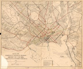
Size of this JPG preview of this TIF file: 719 × 600 pixels. Other resolutions: 288 × 240 pixels | 576 × 480 pixels | 921 × 768 pixels | 1,228 × 1,024 pixels | 2,456 × 2,048 pixels | 16,441 × 13,711 pixels.
Original file (16,441 × 13,711 pixels, file size: 644.94 MB, MIME type: image/tiff)
Captions
Captions
Add a one-line explanation of what this file represents
Summary
[edit]| Warning | The original file is very high-resolution. It might not load properly or could cause your browser to freeze when opened at full size. |
|---|
| Description |
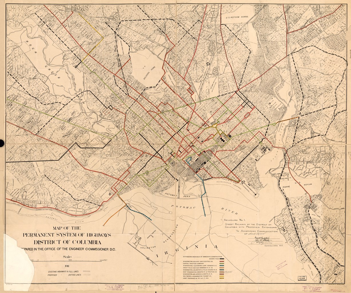
English: Also shows block numbers, major buildings, proposed streets, and subdivision boundaries. At head of title: Enclosure No. 1. Base map title: Map of the permanent system of highways, District of Columbia / [pre]pared in the Office of the Engineer Commissioner D.C., 1911. Map removed from "Senate Doc. No. 441, 62 Cong., 2d Sess." Oriented with north toward the upper left. Includes names of D.C. Commissioners. LC sheets joined, reseparated, fold-lined, lacking corner section, torn, mended, annotated in pencil, and rubber-stamped. Available also through the Library of Congress Web site as a raster image. DCP |
||
| Title | Street railways of the District of Columbia with proposed extensions : to accompany communication of March 20, 1912. | ||
| Shelf ID | G3851.P33 1912 .O3 | ||
| Date | |||
| Source | https://www.loc.gov/item/87695724/ | ||
| Author | Office Of The Engineer Commissioner D.C.; District Of Columbia. Board Of Commissioners; United States. Congress Senate | ||
| Permission (Reusing this file) |
|
||
| Other versions |
|
||
| Location | United States · Washington D.C. · District Of Columbia · Washington | ||
| Part of | American Memory · Cities And Towns · Catalog · Geography And Map Division | ||
| Subject | Washington (D.C.) · Street-Railroads · Washington · United States · Maps · District Of Columbia |


Licensing
[edit]|
This is a faithful photographic reproduction of a two-dimensional, public domain work of art. The work of art itself is in the public domain for the following reason:
The official position taken by the Wikimedia Foundation is that "faithful reproductions of two-dimensional public domain works of art are public domain".
This photographic reproduction is therefore also considered to be in the public domain in the United States. In other jurisdictions, re-use of this content may be restricted; see Reuse of PD-Art photographs for details. | ||||
File history
Click on a date/time to view the file as it appeared at that time.
| Date/Time | Thumbnail | Dimensions | User | Comment | |
|---|---|---|---|---|---|
| current | 21:38, 7 June 2018 |  | 16,441 × 13,711 (644.94 MB) | Fæ (talk | contribs) | LOC Maps https://www.loc.gov/item/87695724/ #23107 |
You cannot overwrite this file.
File usage on Commons
The following page uses this file: