File:Stolperstein Hoppstädten-Weiersbach Hauptstraße 20 Elise Eppstein.jpg
Jump to navigation
Jump to search
No higher resolution available.
Stolperstein_Hoppstädten-Weiersbach_Hauptstraße_20_Elise_Eppstein.jpg (480 × 480 pixels, file size: 93 KB, MIME type: image/jpeg)
Captions
Captions
Add a one-line explanation of what this file represents
Summary
[edit]
| Description |
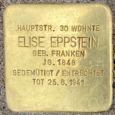
Deutsch: Stolperstein Hoppstädten-Weiersbach Hauptstraße 20 Elise Eppstein |
| Date | |
| Source |
File:Stolpersteine Hoppstädten-Weiersbach Hauptstraße 20.jpg Auschnitt |
| Author | Hans-Georg Heck |
| Camera location | | View this and other nearby images on: OpenStreetMap |
|---|
Licensing
[edit]
This file is licensed under the Creative Commons Attribution-Share Alike 4.0 International license.
- You are free:
- to share – to copy, distribute and transmit the work
- to remix – to adapt the work
- Under the following conditions:
- attribution – You must give appropriate credit, provide a link to the license, and indicate if changes were made. You may do so in any reasonable manner, but not in any way that suggests the licensor endorses you or your use.
- share alike – If you remix, transform, or build upon the material, you must distribute your contributions under the same or compatible license as the original.
File history
Click on a date/time to view the file as it appeared at that time.
| Date/Time | Thumbnail | Dimensions | User | Comment | |
|---|---|---|---|---|---|
| current | 20:08, 1 October 2022 | | 480 × 480 (93 KB) | Gmbo 2013 (talk | contribs) | Uploaded a work by Hans-Georg Heck from File:Stolpersteine Hoppstädten-Weiersbach Hauptstraße 20.jpg Auschnitt with UploadWizard |
You cannot overwrite this file.
File usage on Commons
The following page uses this file:
File usage on other wikis
The following other wikis use this file:
- Usage on de.wikipedia.org