File:Staats Vlaanderen 1745 ² Hattinga.jpg
Jump to navigation
Jump to search
Size of this preview: 800 × 526 pixels. Other resolutions: 320 × 210 pixels | 640 × 420 pixels | 1,024 × 673 pixels | 1,280 × 841 pixels | 2,560 × 1,682 pixels | 6,714 × 4,411 pixels.
Original file (6,714 × 4,411 pixels, file size: 23.88 MB, MIME type: image/jpeg)
Captions
Captions
Add a one-line explanation of what this file represents
Summary
[edit]| Description |
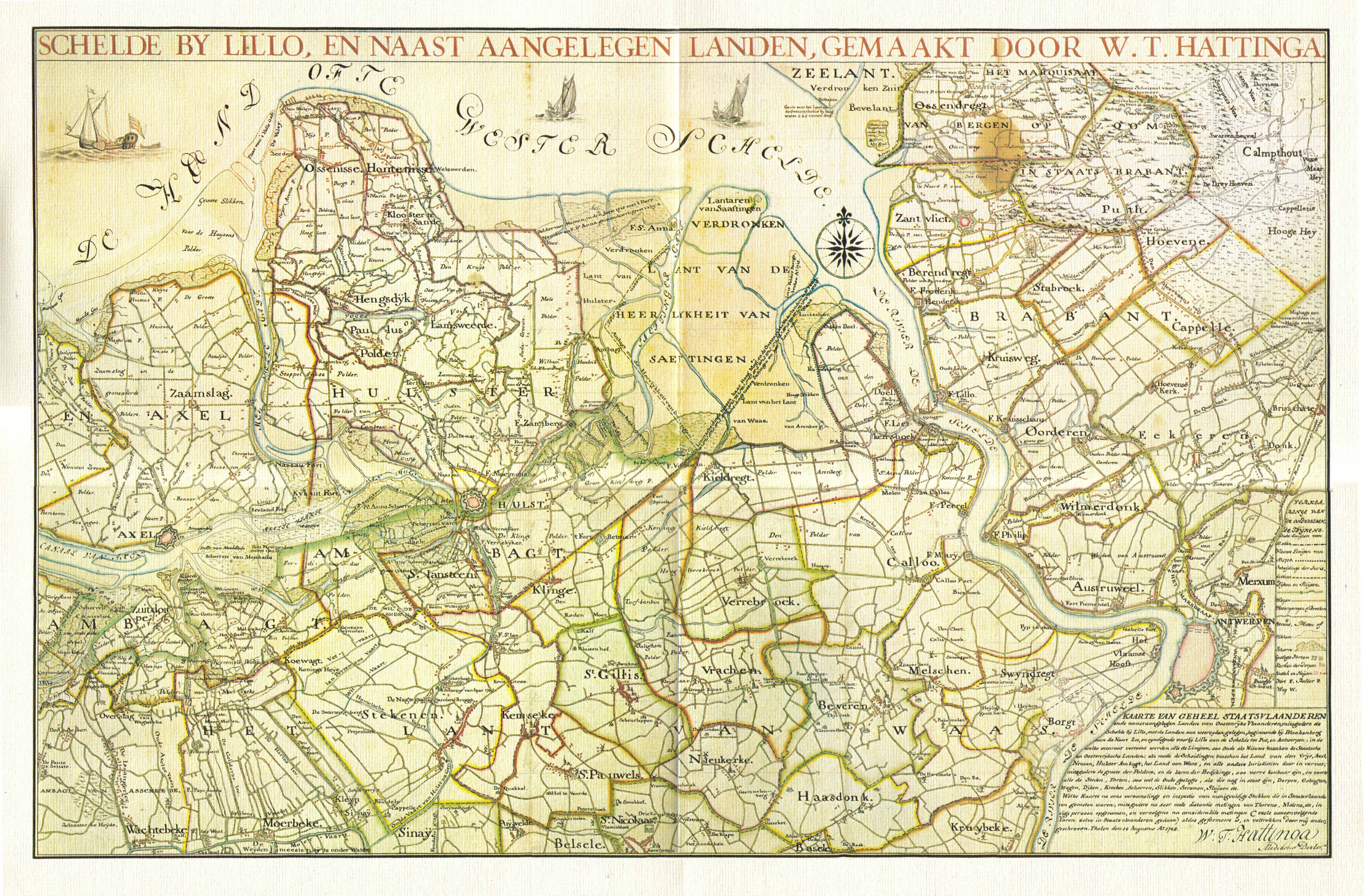
Nederlands: Oostelijk gedeelte van Staats-Vlaanderen, het huidige Zeeuws Vlaanderen in de 18e eeuw |
| Date | |
| Source | In 4 gedeeltes ingescande kaart uit eigen bezit |
| Author | Hattinga, WT |
| Other versions |
.jpg)
Oostelijk Zeeuws Vlaanderen , Nederland
Licensing
[edit]
|
This work is in the public domain in its country of origin and other countries and areas where the copyright term is the author's life plus 100 years or fewer. | |
| This file has been identified as being free of known restrictions under copyright law, including all related and neighboring rights. | |
File history
Click on a date/time to view the file as it appeared at that time.
| Date/Time | Thumbnail | Dimensions | User | Comment | |
|---|---|---|---|---|---|
| current | 12:41, 9 July 2010 | | 6,714 × 4,411 (23.88 MB) | Joop Rotte (talk | contribs) | {{Information |Description={{nl|1=Oostelijk gedeelte van Staats-Vlaanderen, het huidige Zeeuws Vlaanderen in de 18e eeuw}} |Source=In 4 gedeeltes ingescande kaart uit eigen bezit |Author=Hattinga, WT |Date=1745 |Permission= |other_versions= }} Oostelijk Z |
You cannot overwrite this file.
File usage on Commons
The following page uses this file:
File usage on other wikis
The following other wikis use this file:
- Usage on nl.wikipedia.org