File:Spezialkarte 4749 Tittmoning 1939.jpg
Jump to navigation
Jump to search

Size of this preview: 800 × 566 pixels. Other resolutions: 320 × 226 pixels | 640 × 453 pixels | 1,024 × 725 pixels | 1,280 × 906 pixels | 2,560 × 1,812 pixels | 8,210 × 5,810 pixels.
Original file (8,210 × 5,810 pixels, file size: 26.32 MB, MIME type: image/jpeg)
Captions
Captions
Add a one-line explanation of what this file represents
Summary
[edit]
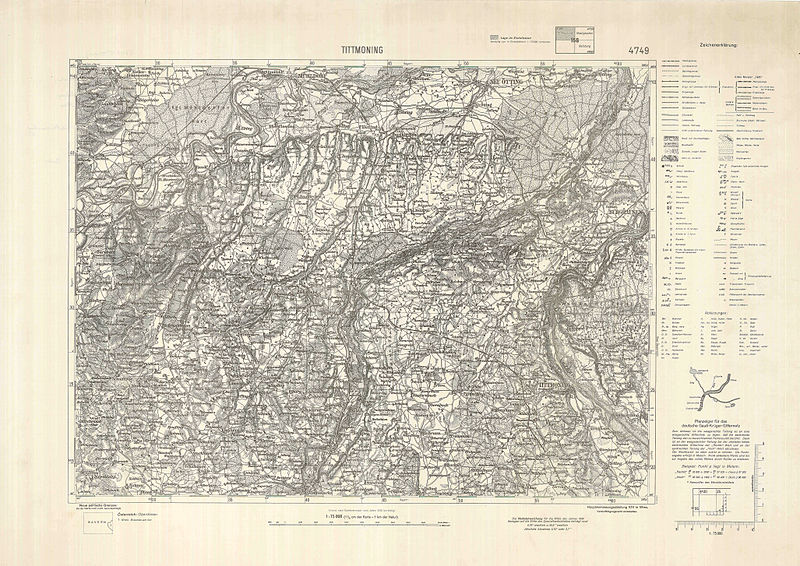
| Description | historische Landkarte: Spezialkarte 1:75.000, franzisco-josephinische (3.) Landesaufnahme der österreichisch-ungarischen Monarchie. Blatt 4749 Tittmoning mit Neu und Alt Ötting, Burgkirchen, Burghausen, Ostermiething, Weilharter Forst. Mit Zeichenschlüssel, Nadelabweichung für 1939 und Planzeiger für das deutsche Gauß-Krüger-Gitternetz. |
| Date | (rechts unten: X.XXXIX). Grenzänderungen (Landesgrenze statt Staatsgrenze zwischen Oberösterreich/Oberdonau und Bayern) noch nicht berücksichtigt. Vermerk unten Mitte "Inland nach Kartenrevision vom Jahre 1936 berichtigt" (Inland=damaliges Österreich) |
| Source | Archiv von: k.u.k. militär-geographisches Institut, Bundesamt für Eich- und Vermessungswesen (Landesaufnahme) von 1920 bis 1938, ab 1938 (Rahmen) Hauptvermessungsabteilung XIV in Wien, danach wieder Bundesamt, im 21. Jahrhundert: Bundesamt für Eich- und Vermessungswesen BEV in Wien |
| Author | k.u.k. militär-geographisches Institut, Bundesamt für Eich- und Vermessungswesen (Landesaufnahme) von 1920 bis 1938, ab 1938 (Rahmen) Hauptvermessungsabteilung XIV in Wien |
| Permission (Reusing this file) |
historisches amtliches Werk aus dem 19. Jahrhundert mit Nachträgen spätestens 1939, freies Werk |
Licensing
[edit]
|
This work is in the public domain in its country of origin and other countries and areas where the copyright term is the author's life plus 70 years or fewer. | |
| This file has been identified as being free of known restrictions under copyright law, including all related and neighboring rights. | |
File history
Click on a date/time to view the file as it appeared at that time.
| Date/Time | Thumbnail | Dimensions | User | Comment | |
|---|---|---|---|---|---|
| current | 10:44, 14 March 2010 | | 8,210 × 5,810 (26.32 MB) | Josef Moser (talk | contribs) | {{Information |Description=historische Landkarte: Spezialkarte 1:75.000, franzisco-josephinische (3.) Landesaufnahme der österreichisch-ungarischen Monarchie. Blatt 4749 Tittmoning mit Neu und Alt Ötting, Burgkirchen, Burghausen, Ostermiething, Weilhart |
You cannot overwrite this file.
File usage on Commons
There are no pages that use this file.
File usage on other wikis
The following other wikis use this file:
- Usage on azb.wikipedia.org
- Usage on de.wikipedia.org
- Usage on nl.wikipedia.org
- Usage on uk.wikipedia.org