File:South Africa relief map with provincial borders.png
Jump to navigation
Jump to search
Size of this preview: 687 × 599 pixels. Other resolutions: 275 × 240 pixels | 550 × 480 pixels | 881 × 768 pixels | 1,174 × 1,024 pixels | 2,394 × 2,088 pixels.
Original file (2,394 × 2,088 pixels, file size: 3.15 MB, MIME type: image/png)
Captions
Captions
Add a one-line explanation of what this file represents
Summary
[edit]
| Description |
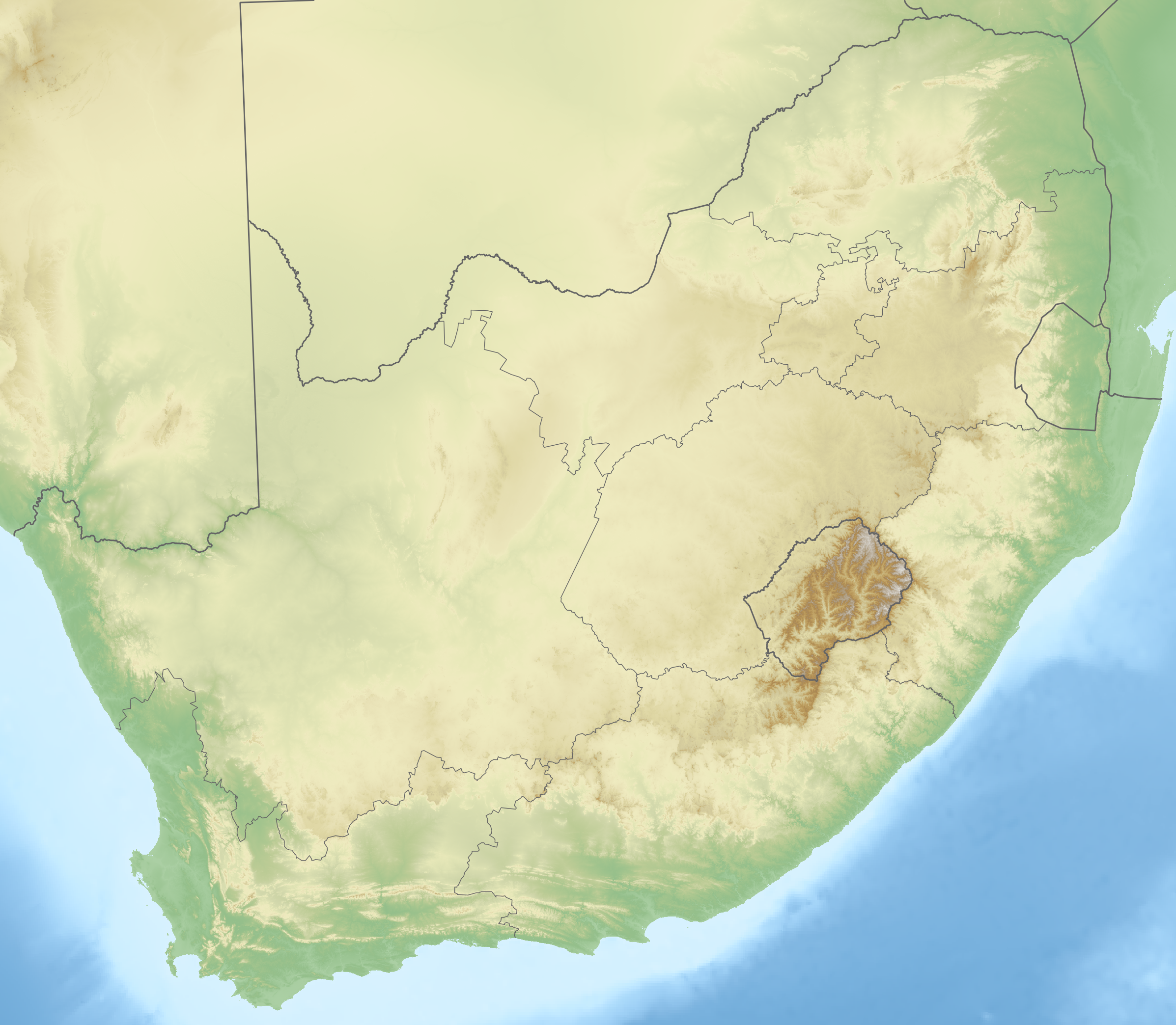
English: Hypsometrically and bathymetrically tinted relief map of South Africa, overlaid with international and provincial borders. Projection is Lambert Conformal Conic with standard parallels at 25.5° S and 31.5° S. |
| Date | |
| Source | Elevation data: SRTM; bathymetric data: CleanTOPO2; international borders: VMAP0; provincial borders: MDB. |
| Author | Adrian Frith |
| Other versions | File:South Africa relief map plain.png, File:South Africa relief map with international borders.png |
Licensing
[edit]
I, the copyright holder of this work, hereby publish it under the following license:
This file is licensed under the Creative Commons Attribution-Share Alike 3.0 Unported license.
- You are free:
- to share – to copy, distribute and transmit the work
- to remix – to adapt the work
- Under the following conditions:
- attribution – You must give appropriate credit, provide a link to the license, and indicate if changes were made. You may do so in any reasonable manner, but not in any way that suggests the licensor endorses you or your use.
- share alike – If you remix, transform, or build upon the material, you must distribute your contributions under the same or compatible license as the original.
File history
Click on a date/time to view the file as it appeared at that time.
| Date/Time | Thumbnail | Dimensions | User | Comment | |
|---|---|---|---|---|---|
| current | 19:12, 30 November 2010 | | 2,394 × 2,088 (3.15 MB) | Htonl (talk | contribs) | == Summary == {{Information |Description={{en|1=Hypsometrically and bathymetrically tinted relief map of South Africa, overlaid with international and provincial borders. Projection is Lambert Conformal Conic with standard parallels at 25.5° S and 31.5° |
You cannot overwrite this file.
File usage on Commons
There are no pages that use this file.
File usage on other wikis
The following other wikis use this file:
- Usage on hu.wikipedia.org
- Usage on hu.wiktionary.org
- Usage on uk.wikipedia.org