File:Soil erodibility index map, Clyde River Watershed, Caledonia, Essex, and Orleans Counties, Vermont LOC 82693219.tif
Jump to navigation
Jump to search

Size of this JPG preview of this TIF file: 800 × 519 pixels. Other resolutions: 320 × 207 pixels | 640 × 415 pixels | 1,024 × 664 pixels | 1,280 × 830 pixels | 2,560 × 1,659 pixels | 5,080 × 3,293 pixels.
Original file (5,080 × 3,293 pixels, file size: 47.86 MB, MIME type: image/tiff)
Captions
Captions
Add a one-line explanation of what this file represents
Summary
[edit]| Description |
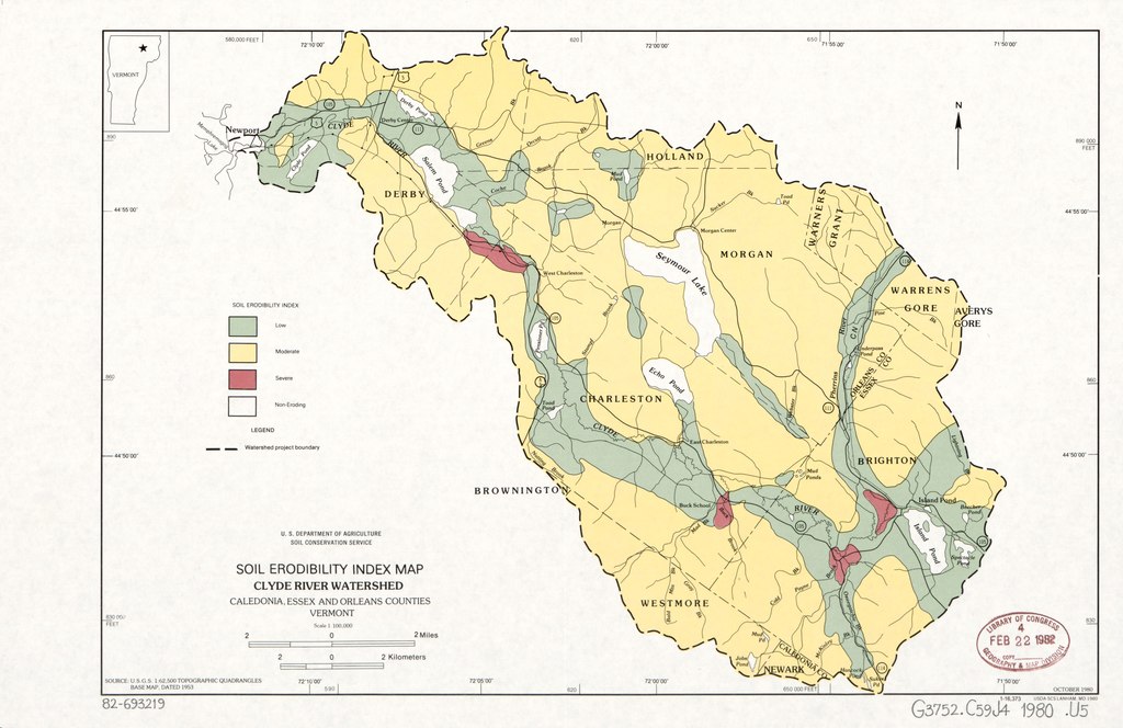
English: "October 1980." "Source: U.S.G.S. 1:62,500 topographic quadrangles base map, dated 1953." Includes location map. "1-16,373." Available also through the Library of Congress Web site as a raster image. |
||
| Title | Soil erodibility index map, Clyde River Watershed, Caledonia, Essex, and Orleans Counties, Vermont | ||
| Shelf ID | G3752.C59J4 1980 .U5 | ||
| Date | |||
| Source | https://www.loc.gov/item/82693219/ | ||
| Author | United States. Soil Conservation Service | ||
| Permission (Reusing this file) |
|
||
| Other versions |
|
||
| Location | United States · Vermont · Clyde River Watershed | ||
| Part of | American Memory · Catalog · Geography And Map Division · Additional Conservation And Environment Cartographic Items | ||
| Subject | United States · Maps · Vermont · Soil Erosion · Clyde River Watershed |


Licensing
[edit]This work is in the public domain in the United States because it is a work prepared by an officer or employee of the United States Government as part of that person’s official duties under the terms of Title 17, Chapter 1, Section 105 of the US Code.
Note: This only applies to original works of the Federal Government and not to the work of any individual U.S. state, territory, commonwealth, county, municipality, or any other subdivision. This template also does not apply to postage stamp designs published by the United States Postal Service since 1978. (See § 313.6(C)(1) of Compendium of U.S. Copyright Office Practices). It also does not apply to certain US coins; see The US Mint Terms of Use.
|
 | |
| This file has been identified as being free of known restrictions under copyright law, including all related and neighboring rights. | ||
File history
Click on a date/time to view the file as it appeared at that time.
| Date/Time | Thumbnail | Dimensions | User | Comment | |
|---|---|---|---|---|---|
| current | 22:37, 18 July 2018 |  | 5,080 × 3,293 (47.86 MB) | Fæ (talk | contribs) | LOC Maps https://www.loc.gov/item/82693219/ #3895 |
You cannot overwrite this file.
File usage on Commons
The following page uses this file: