File:Sogrothen 1573JL.jpg
Jump to navigation
Jump to search
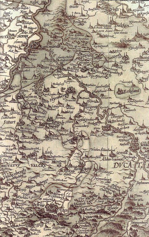
Size of this preview: 377 × 600 pixels. Other resolutions: 151 × 240 pixels | 301 × 480 pixels | 482 × 768 pixels | 1,140 × 1,814 pixels.
Original file (1,140 × 1,814 pixels, file size: 362 KB, MIME type: image/jpeg)
Captions
Captions
Add a one-line explanation of what this file represents
Summary
[edit]
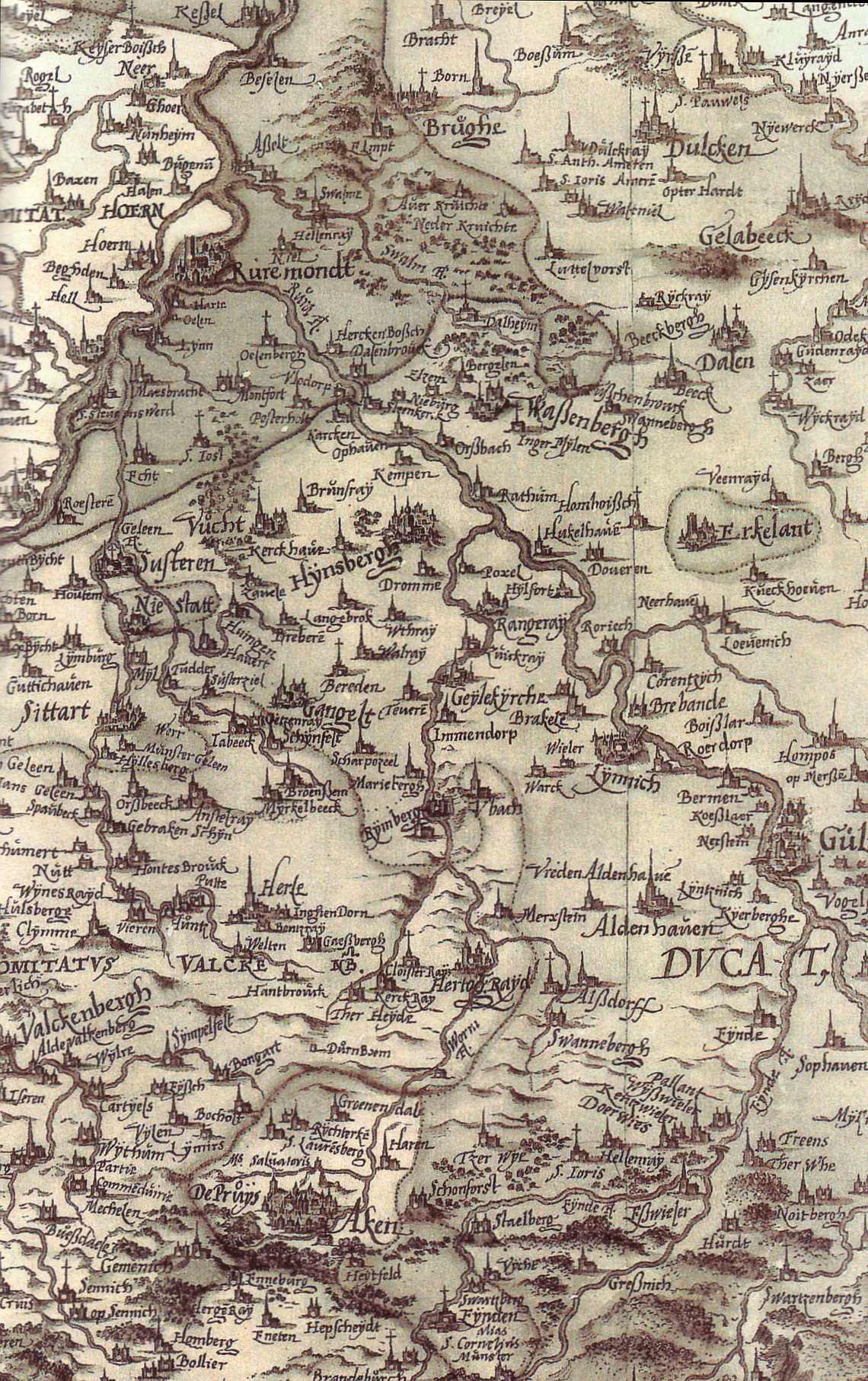
| Description | Detail from an Atlas (Kalkar, 1573) of the german cartographer Christian Sgrothen (1525-1604). This part of the map shows Towns and villages of the german Lower Rheinland along the river Rur (Roermond, Jülich, Aachen) |
| Date | Kalkra, 1573 |
| Source | Heimatkalender des Kreises Heinsberg 2000 S.32; 1 |
| Author | Christian Sgrothen |
Licensing
[edit]
|
This work is in the public domain in its country of origin and other countries and areas where the copyright term is the author's life plus 70 years or fewer. | |
| This file has been identified as being free of known restrictions under copyright law, including all related and neighboring rights. | |
File history
Click on a date/time to view the file as it appeared at that time.
| Date/Time | Thumbnail | Dimensions | User | Comment | |
|---|---|---|---|---|---|
| current | 15:15, 1 April 2007 | | 1,140 × 1,814 (362 KB) | Bodoklecksel (talk | contribs) | == Summary == {{Information| |Description=Detail from an Atlas (Kalkar, 1573) of the german cartographer Christian Sgrothen (1525-1604). This part of the map shows Towns and villages of the german Lower Rheinland along the river Rur (Roermond, Jülich, Aa |
You cannot overwrite this file.
File usage on Commons
There are no pages that use this file.