File:Savo Island 1942 map.jpg
Jump to navigation
Jump to search
No higher resolution available.
Savo_Island_1942_map.jpg (776 × 524 pixels, file size: 69 KB, MIME type: image/jpeg)
Captions
Captions
Add a one-line explanation of what this file represents
Summary
[edit]
| Description |
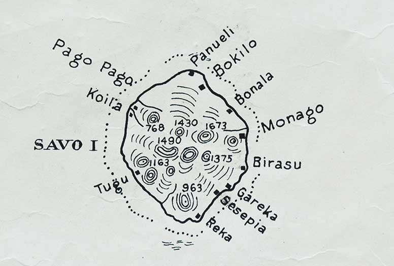
English: map of Savo Island of the Solomon Islands, northwest of main island of Gualdalcanal, Solomon Sea, Pacific Ocean |
| Date | |
| Source |
http://www.archaehistoria.org/solomon-islands-archaeology/27-wwii-archaeological-sites-of-savo/174-site-savo05-leif-schroder-s-trade-store-mid-1930-s-january-1942 This map is a crop of File:Map_of_Guadalcanal_and_Florida_islands,_December_1942_(US_Marine_Corps).png |
| Author | Mapping Sub-Section C-2, of the 1st Marine Amphibious Corps, that was a formation of the United States Marine Corps |
.png)
Licensing
[edit]
This file is a work of a United States Marine or employee, taken or made as part of that person's official duties. As a work of the U.S. federal government, it is in the public domain.
|
 |
File history
Click on a date/time to view the file as it appeared at that time.
| Date/Time | Thumbnail | Dimensions | User | Comment | |
|---|---|---|---|---|---|
| current | 07:54, 28 November 2016 | | 776 × 524 (69 KB) | Ratzer (talk | contribs) | Cropped 29 % horizontally and 25 % vertically using CropTool with lossless mode. |
| 20:44, 27 November 2016 |  | 1,100 × 700 (108 KB) | Ratzer (talk | contribs) | User created page with UploadWizard |
You cannot overwrite this file.
File usage on Commons
There are no pages that use this file.
File usage on other wikis
The following other wikis use this file:
- Usage on ast.wikipedia.org
- Usage on de.wikipedia.org