File:Santorini1848.jpg
Jump to navigation
Jump to search

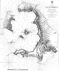
Size of this preview: 496 × 599 pixels. Other resolutions: 199 × 240 pixels | 397 × 480 pixels | 636 × 768 pixels | 848 × 1,024 pixels | 1,696 × 2,048 pixels | 2,691 × 3,249 pixels.
Original file (2,691 × 3,249 pixels, file size: 1.56 MB, MIME type: image/jpeg)
Captions
Captions
Add a one-line explanation of what this file represents
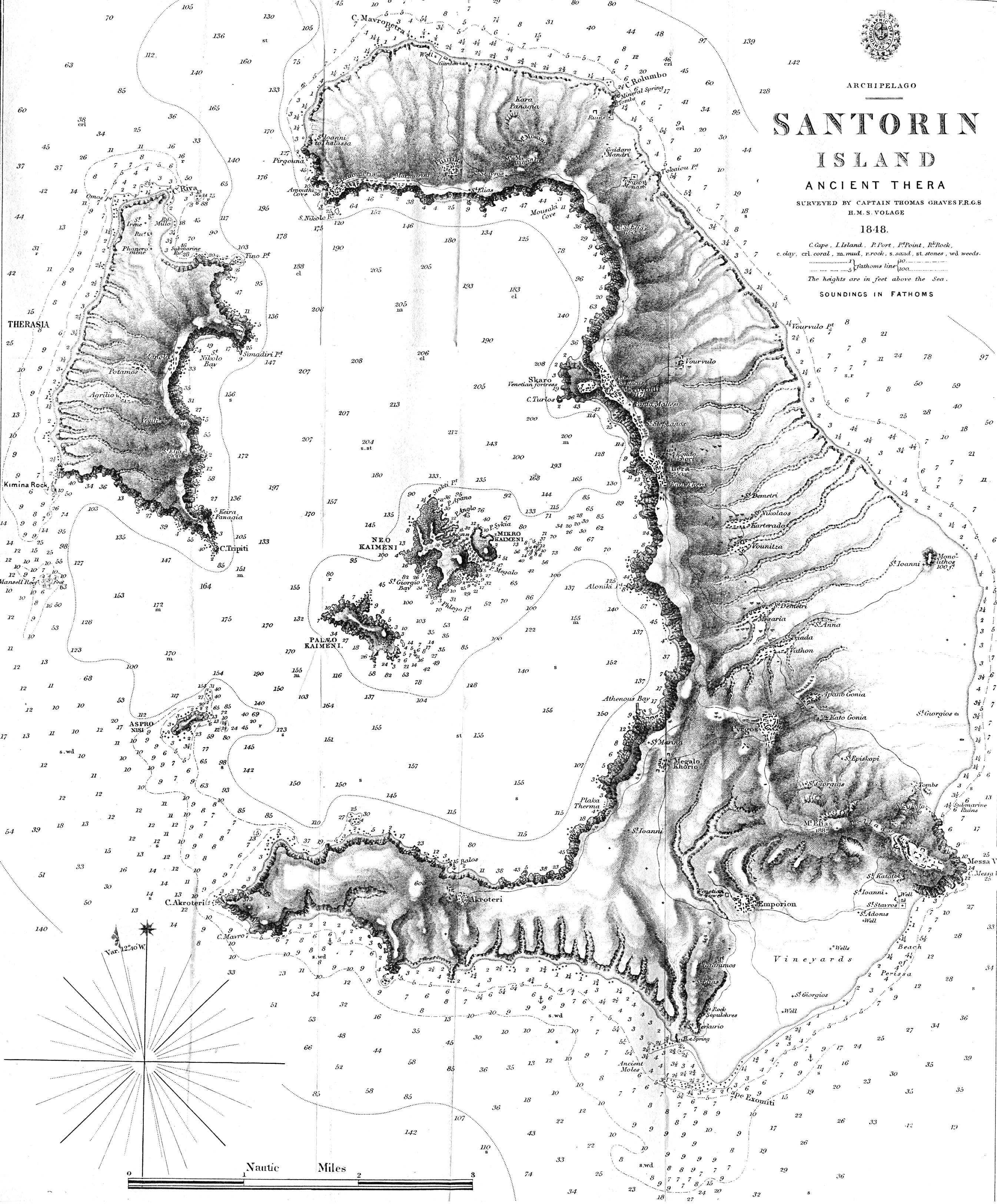
| Description | Map of the greek island Santorini from 1848 - "Santorin Island Ancient Thera Surveyed by Captain Thomas Graves F.R.G.S. H.M.S. Volage 1848" from The Journal of the Royal Geographical Society, Volume 20, 1850 to accompany "Some Account of the Volcanic Group of Santorin or Thera, once called Calliste, or the Most Beautiful. By Lieut. E. M. Leycester, R.N.". Full text of the JRGS article can be found on the Internet Artchive. | ||||
| Date | |||||
| Source | http://www.lib.utexas.edu/maps/historical/santorin_island_1848.jpg | ||||
| Author | Thomas Graves | ||||
| Permission (Reusing this file) |
|
||||
File history
Click on a date/time to view the file as it appeared at that time.
| Date/Time | Thumbnail | Dimensions | User | Comment | |
|---|---|---|---|---|---|
| current | 16:36, 24 May 2007 | | 2,691 × 3,249 (1.56 MB) | H-stt (talk | contribs) | {{Information |Description= Map of the greek island Santorini from 1848 - "Santorin Island Ancient Thera Surveyed by Captain Thomas Graves F.R.G.S. H.M.S. Volage 1848" from The Journal of the Royal Geographical Society, Volume 20, 1850 to accompany "Some |
You cannot overwrite this file.
File usage on Commons
There are no pages that use this file.
File usage on other wikis
The following other wikis use this file:
- Usage on de.wikipedia.org
- Usage on el.wikipedia.org
- Usage on en.wikipedia.org
- Usage on fr.wikipedia.org
- Usage on ro.wikipedia.org
- Usage on sl.wikipedia.org