File:Romania Ialomita Location map.jpg
Jump to navigation
Jump to search
Size of this preview: 800 × 361 pixels. Other resolutions: 320 × 144 pixels | 918 × 414 pixels.
Original file (918 × 414 pixels, file size: 66 KB, MIME type: image/jpeg)
Captions
Captions
Add a one-line explanation of what this file represents
Summary
[edit]
|
This map image could be re-created using vector graphics as an SVG file. This has several advantages; see Commons:Media for cleanup for more information. If an SVG form of this image is available, please upload it and afterwards replace this template with
{{vector version available|new image name}}.
It is recommended to name the SVG file “Romania Ialomita Location map.svg”—then the template Vector version available (or Vva) does not need the new image name parameter. |


| Description |
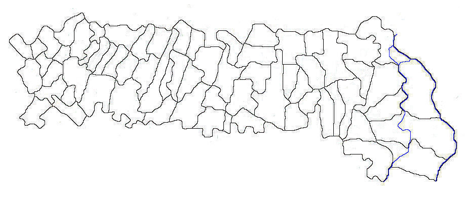
Română: Harta judeţului Ialomiţa |
| Date | 26 November 2011 (original upload date) |
| Source | Transferred from ro.wikipedia to Commons. |
| Author | The original uploader was Afil at Romanian Wikipedia. |
Licensing
[edit]
This file is licensed under the Creative Commons Attribution 3.0 Unported license.
- You are free:
- to share – to copy, distribute and transmit the work
- to remix – to adapt the work
- Under the following conditions:
- attribution – You must give appropriate credit, provide a link to the license, and indicate if changes were made. You may do so in any reasonable manner, but not in any way that suggests the licensor endorses you or your use.

|
Permission is granted to copy, distribute and/or modify this document under the terms of the GNU Free Documentation License, Version 1.2 or any later version published by the Free Software Foundation; with no Invariant Sections, no Front-Cover Texts, and no Back-Cover Texts. A copy of the license is included in the section entitled GNU Free Documentation License. |
Original upload log
[edit]
The original description page was here. All following user names refer to ro.wikipedia.
- 2011-11-26 07:28 Afil 918×414× (66942 bytes) {{Informații |Descriere= |Sursa= |Data= |Autor= |Permisiune= |alte_versiuni= }}
File history
Click on a date/time to view the file as it appeared at that time.
| Date/Time | Thumbnail | Dimensions | User | Comment | |
|---|---|---|---|---|---|
| current | 16:21, 10 May 2012 | | 918 × 414 (66 KB) | Afil (talk | contribs) | Corrected limits of Sărăţeni commune |
| 04:02, 10 May 2012 |  | 918 × 414 (66 KB) | Afil (talk | contribs) | Corrected limits of communes | |
| 00:07, 9 May 2012 |  | 918 × 414 (65 KB) | Afil (talk | contribs) | Corrected limits of Buesti commune | |
| 00:07, 9 May 2012 |  | 918 × 414 (65 KB) | Afil (talk | contribs) | Corrected limits of Buesti commune | |
| 22:53, 6 January 2012 |  | 918 × 414 (65 KB) | Stoschmidt (talk | contribs) | {{Information |Description={{ro|Harta judeţului Ialomiţa}} |Source=Transferred from [http://ro.wikipedia.org ro.wikipedia] |Date={{Date|2011|11|26}} (original upload date) |Author=Original uploader was Afil at [http://ro.wikipedia.org |
You cannot overwrite this file.
File usage on Commons
The following page uses this file:
File usage on other wikis
The following other wikis use this file:
- Usage on de.wikipedia.org
- Usage on he.wikipedia.org
- Usage on pl.wikipedia.org
- Slobozia
- Fetești
- Urziceni
- Țăndărei
- Dridu
- Făcăeni
- Moduł:Mapa/dane/Jałomica
- Moduł:Mapa/dane/RO-IL
- Stadionul Tineretului (Urziceni)
- Stadionul 1 Mai (Slobozia)
- Adâncata (okręg Jałomica)
- Patru Frați
- Albești (okręg Jałomica)
- Bataluri
- Marsilieni
- Alexeni
- Andrășești
- Orboești
- Armășești (okręg Jałomica)
- Nenișori
- Malu Roșu (okręg Jałomica)
- Axintele
- Bărbătescu
- Horia (okręg Jałomica)
- Balaciu (okręg Jałomica)
- Copozu
- Crăsanii de Jos
- Crăsanii de Sus
- Bărbulești
- Bărcănești (okręg Jałomica)
- Condeești
- Borănești
- Sintești (okręg Jałomica)
- Bordușani (okręg Jałomica)
- Cegani
- Bucu
- Buești
- Ciocârlia (okręg Jałomica)
- Cotorca (okręg Jałomica)
- Bordușelu
- Ciochina
- Orezu
- Piersica
- Ciulnița (okręg Jałomica)
- Ion Ghica (okręg Jałomica)
- Ivănești (okręg Jałomica)
- Poiana (okręg Jałomica)
View more global usage of this file.