File:Res. Bangka en Onderh, KK 083-04-01085-04-10.pdf
Jump to navigation
Jump to search

Size of this JPG preview of this PDF file: 495 × 600 pixels. Other resolutions: 198 × 240 pixels | 396 × 480 pixels | 634 × 768 pixels | 845 × 1,024 pixels | 2,504 × 3,035 pixels.

Original file (2,504 × 3,035 pixels, file size: 266.87 MB, MIME type: application/pdf, 176 pages)
Captions
Captions
Add a one-line explanation of what this file represents
Summary
[edit]| Description |
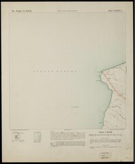
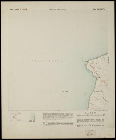
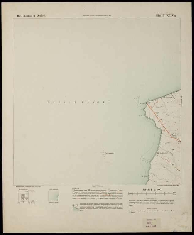
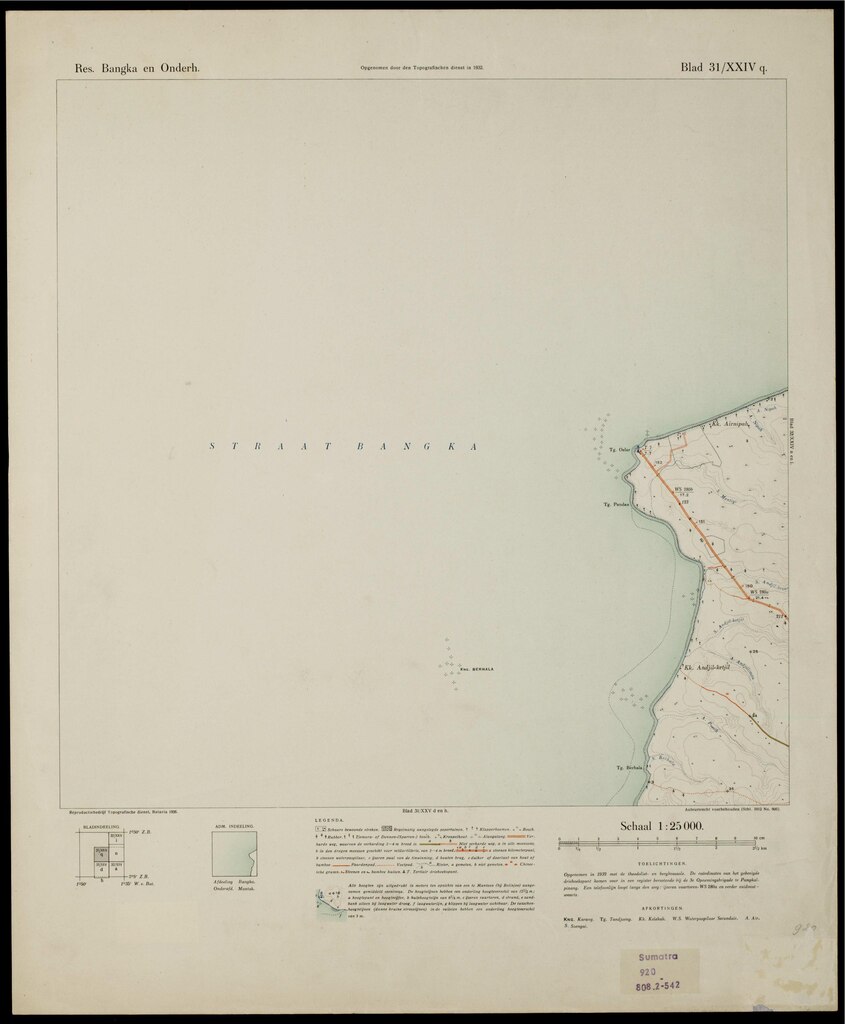
English: Title: Res. Bangka en Onderh Author/creator: Topographische Dienst in Nederlandsch-Indië Topografische dienst in Nederlandsch-Indië (Batavia) Shelfmark: KK 083-04-01/085-04-10 Note: Gegevens verzameld over de periode/Data collected over the period: 1928-1935. Opname: 1928-1934. Fotogrammetrische kaartering. Language: Dutch Country: Indonesia Published: Batavia: Topografische Dienst, 1930-1936 Persistent URL: http://hdl.handle.net/1887.1/item:2078333 Published (digital): Koninklijk Instituut voor de Tropen (KIT), Extent: elektronische bron (1 kaartserie, in kleur) |
| Date | Unknown date |
| Source | http://hdl.handle.net/1887.1/item:2078333 |
| Author | Topographische Dienst in Nederlandsch-Indië |
Licensing
[edit]This file is licensed under the Creative Commons Attribution 4.0 International license.
- You are free:
- to share – to copy, distribute and transmit the work
- to remix – to adapt the work
- Under the following conditions:
- attribution – You must give appropriate credit, provide a link to the license, and indicate if changes were made. You may do so in any reasonable manner, but not in any way that suggests the licensor endorses you or your use.
File history
Click on a date/time to view the file as it appeared at that time.
| Date/Time | Thumbnail | Dimensions | User | Comment | |
|---|---|---|---|---|---|
| current | 12:31, 16 January 2021 |  | 2,504 × 3,035, 176 pages (266.87 MB) | Mr.Nostalgic (talk | contribs) | Uploaded a work by Topographische Dienst in Nederlandsch-Indië from http://hdl.handle.net/1887.1/item:2078333 with UploadWizard |
You cannot overwrite this file.
File usage on Commons
There are no pages that use this file.