File:Reliefkarte Aargau blank.png
Jump to navigation
Jump to search
Size of this preview: 630 × 600 pixels. Other resolutions: 252 × 240 pixels | 504 × 480 pixels | 807 × 768 pixels | 1,075 × 1,024 pixels | 1,965 × 1,871 pixels.
Original file (1,965 × 1,871 pixels, file size: 3.64 MB, MIME type: image/png)
Captions
Captions
Add a one-line explanation of what this file represents
| Description |
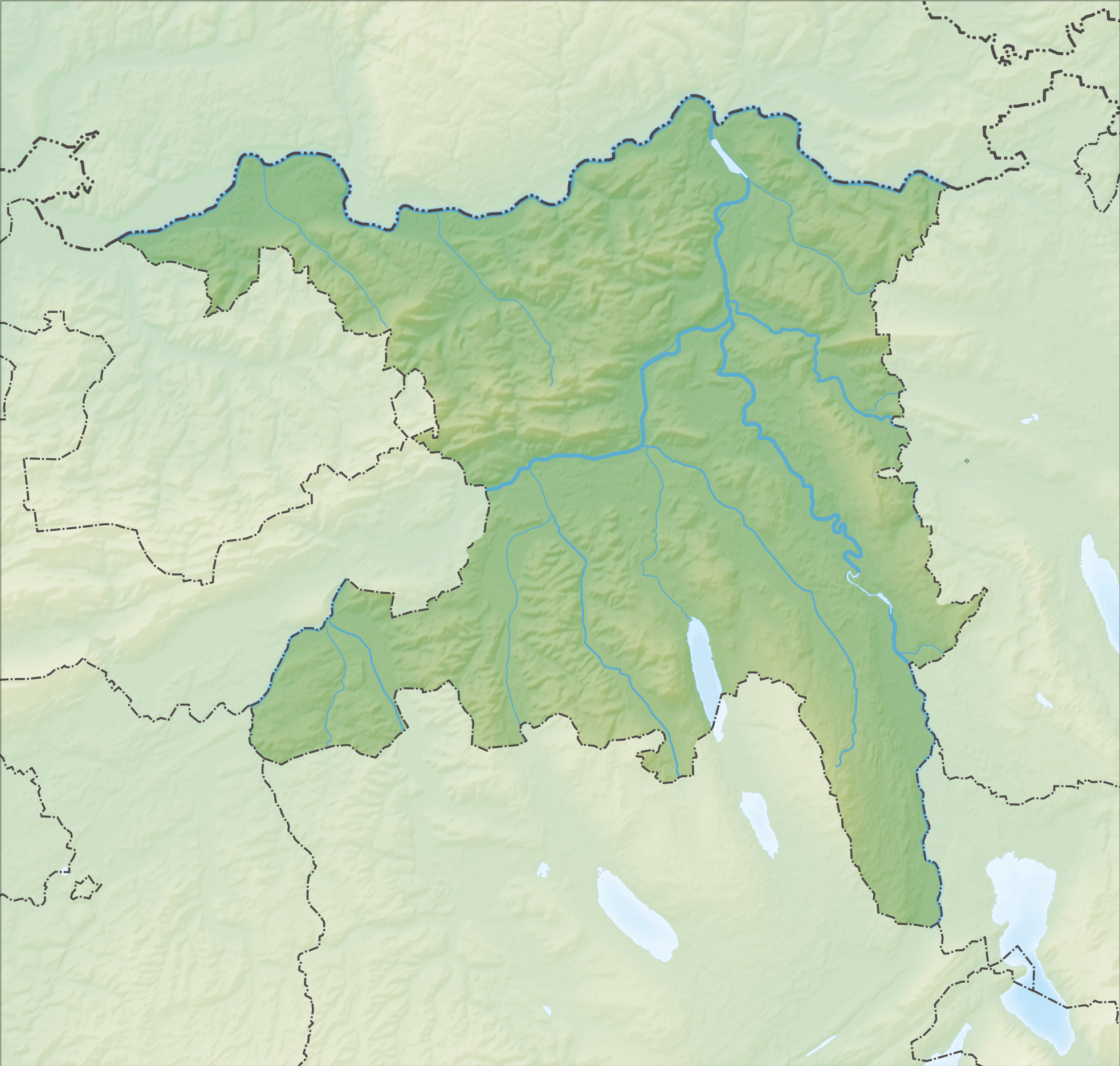
Deutsch: Reliefkarte des Kantons Aargau
Topographischer Hintergrund: NASA Shuttle Radar Topography Mission (public domain). SRTM3 v.2. |
||||||||
| Date | |||||||||
| Source | Own work | ||||||||
| Author | Tschubby | ||||||||
| Permission (Reusing this file) |
I, the copyright holder of this work, hereby publish it under the following licenses:
This file is licensed under the Creative Commons Attribution-Share Alike 2.5 Generic, 2.0 Generic and 1.0 Generic license.
You may select the license of your choice. |
||||||||
| Other versions |
 |


File history
Click on a date/time to view the file as it appeared at that time.
| Date/Time | Thumbnail | Dimensions | User | Comment | |
|---|---|---|---|---|---|
| current | 10:30, 5 December 2013 | | 1,965 × 1,871 (3.64 MB) | Tschubby (talk | contribs) | {{Information |Description= |Source= |Date= |Author= |Permission= |other_versions= }} |
| 10:25, 5 December 2013 |  | 1,965 × 1,871 (3.65 MB) | Tschubby (talk | contribs) | {{Information |Description= {{de| Reliefkarte des Kantons Aargau}} Topographischer Hintergrund: [http://www2.jpl.nasa.gov/srtm NASA Shuttle Radar Topography Mission] (public domain). SRTM3 v.2. |Source={{own}} |Date= 2013-12-05 |Author= [[:de:User:Tsch... |
You cannot overwrite this file.
File usage on Commons
There are no pages that use this file.
File usage on other wikis
The following other wikis use this file:
- Usage on de.wikipedia.org
- Habsburg (Burg)
- Mutschellen
- Bareggtunnel
- Kernkraftwerk Leibstadt
- Kernkraftwerk Beznau
- Bözberg (Pass)
- Lindenberg (Schweiz)
- Klingnauer Stausee
- Bözbergstrecke
- Heitersberg
- Burgruine Schenkenberg (Aargau)
- Schloss Wildenstein (Veltheim)
- Schloss Horben
- Egelsee (Aargau)
- Flachsee
- Festung Aarburg
- Staffelegg
- Schloss Liebegg
- Trostburg (Teufenthal)
- Schloss Hallwyl
- Schloss Rued
- Schloss Wildegg
- Schloss Brunegg
- Schloss Bernau (Aargau)
- Sissle
- Benkerjoch
- Böhler (Pass)
- Schloss Brestenberg
- Schloss Schafisheim
- Schloss Kasteln
- Schloss Auenstein
- Beznau
- Aarekraftwerk (Beznau)
- Geissberg (Aargau)
- Ruine Freudenau
- Schloss Biberstein
- Ruine Urgiz
- Liste von Burgen und Schlössern in der Schweiz
- Wasserflue
- Zeiher Homberg
- Ruine Königstein (Aargau)
- Ruine Horen
- Schloss Böttstein
- Murgenthaltunnel
- Rüsler
- Wikipedia Diskussion:Kartenwerkstatt
- Ägelsee
- Bahnhof Effingen
- Schloss Bellikon
- Esterliturm
View more global usage of this file.