File:Relief map of Central America.jpg
Jump to navigation
Jump to search

Size of this preview: 781 × 600 pixels. Other resolutions: 313 × 240 pixels | 625 × 480 pixels | 1,000 × 768 pixels | 1,280 × 983 pixels | 1,562 × 1,200 pixels.
Original file (1,562 × 1,200 pixels, file size: 304 KB, MIME type: image/jpeg)
Captions
Captions
Add a one-line explanation of what this file represents
Summary
[edit]| Description |
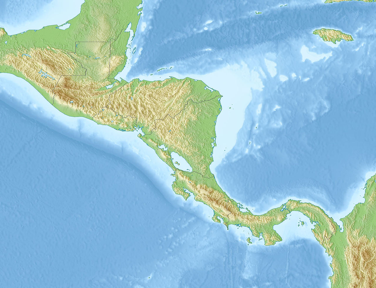
Русский: Физическая карта Центральной Америки
| top = 20 | bottom = 5 | left = -95 | right = -75 |
| Date | |
| Source |
|
| Author | |
| Other versions |
|

Licensing
[edit]
This file is licensed under the Creative Commons Attribution-Share Alike 2.0 Generic license.
- You are free:
- to share – to copy, distribute and transmit the work
- to remix – to adapt the work
- Under the following conditions:
- attribution – You must give appropriate credit, provide a link to the license, and indicate if changes were made. You may do so in any reasonable manner, but not in any way that suggests the licensor endorses you or your use.
- share alike – If you remix, transform, or build upon the material, you must distribute your contributions under the same or compatible license as the original.
File history
Click on a date/time to view the file as it appeared at that time.
| Date/Time | Thumbnail | Dimensions | User | Comment | |
|---|---|---|---|---|---|
| current | 07:21, 14 November 2010 | | 1,562 × 1,200 (304 KB) | Виктор В (talk | contribs) | == {{int:filedesc}} == {{Information |Description={{ru|1=Физическая карта Центральной Америки * Проекция — равноугольная цилиндрическая ** стандартная параллель — |
You cannot overwrite this file.
File usage on Commons
The following page uses this file:
File usage on other wikis
The following other wikis use this file:
- Usage on az.wikipedia.org
- Usage on be.wikipedia.org
- Usage on bn.wikipedia.org
- Usage on cs.wikipedia.org
- Usage on de.wikipedia.org
- Usage on en.wikipedia.org
- 1976 Guatemala earthquake
- 1902 Guatemala earthquake
- 1986 San Salvador earthquake
- 1717 Guatemala earthquake
- 1931 Nicaragua earthquake
- Chuj people
- 1972 Nicaragua earthquake
- 1992 Nicaragua earthquake
- 2009 Cinchona earthquake
- 2009 Swan Islands earthquake
- 1773 Guatemala earthquake
- 2002 Burica earthquake
- 1982 El Salvador earthquake
- 1956 Nicaragua earthquake
- 2003 Puerto Armuelles earthquake
- 1942 Guatemala earthquake
- User:Dawnseeker2000/Sandbox 6
- 2012 Costa Rica earthquake
- 1980 Honduras earthquake
- List of fossiliferous stratigraphic units in Central America
- April 2014 Nicaragua earthquake
- October 2014 Nicaragua earthquake
- 2000 Nicaragua earthquake
View more global usage of this file.