File:Reconnaissance erosion survey of the State of North Carolina - btv1b53189491r.jpg
Jump to navigation
Jump to search

Size of this preview: 800 × 427 pixels. Other resolutions: 320 × 171 pixels | 640 × 341 pixels | 1,024 × 546 pixels | 1,280 × 683 pixels | 2,560 × 1,365 pixels | 16,641 × 8,875 pixels.
Original file (16,641 × 8,875 pixels, file size: 17.64 MB, MIME type: image/jpeg)
Captions
Captions
Add a one-line explanation of what this file represents
Summary
[edit]| Warning | The original file is very high-resolution. It might not load properly or could cause your browser to freeze when opened at full size. |
|---|
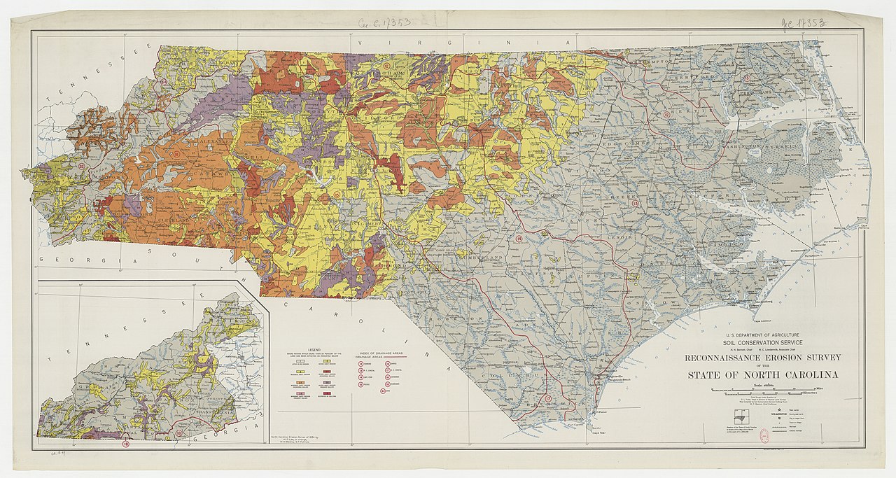
| Reconnaissance erosion survey of the State of North Carolina
( |
|||||||||||||||||||||||||||
|---|---|---|---|---|---|---|---|---|---|---|---|---|---|---|---|---|---|---|---|---|---|---|---|---|---|---|---|
| Author |
Etats-Unis. Soil conservation service. Auteur du texte |
||||||||||||||||||||||||||
| Title |
Reconnaissance erosion survey of the State of North Carolina |
||||||||||||||||||||||||||
| Description |
Français : Sujet : Érosion
Caroline du Nord, État de Échelle(s) : 1:500 000 Couverture : États-Unis – Caroline du Nord Langue : anglais Éditeur : U. S. Department of Agriculture, Soil Conservation Service (Washington) |
||||||||||||||||||||||||||
| Date | 1934 | ||||||||||||||||||||||||||
| Dimensions | height: 67 cm (26.3 in); width: 130 cm (51.1 in) | ||||||||||||||||||||||||||
| Collection |
|
||||||||||||||||||||||||||
| References |
Français : Notice du catalogue : http://catalogue.bnf.fr/ark:/12148/cb40707331g |
||||||||||||||||||||||||||
| Source/Photographer |
Français : Bibliothèque nationale de France, département Cartes et plans, GE C-17353
Bibliothèque nationale de France |
||||||||||||||||||||||||||
| Permission (Reusing this file) |
|
||||||||||||||||||||||||||

File history
Click on a date/time to view the file as it appeared at that time.
| Date/Time | Thumbnail | Dimensions | User | Comment | |
|---|---|---|---|---|---|
| current | 21:38, 15 August 2022 | | 16,641 × 8,875 (17.64 MB) | Gzen92Bot (talk | contribs) | Gallica btv1b53189491r |
You cannot overwrite this file.
File usage on Commons
The following page uses this file: