File:Planiglobii terrestris mappa universalis utrumq hemisphærium orient. et occidentale repræsentans ex IV mappis generalibus = Mappe-monde qui represente les deux hemispheres savoir celui de l'orient et (4072626766).jpg
Jump to navigation
Jump to search

Size of this preview: 710 × 600 pixels. Other resolutions: 284 × 240 pixels | 568 × 480 pixels | 910 × 768 pixels | 1,213 × 1,024 pixels | 2,000 × 1,689 pixels.
Original file (2,000 × 1,689 pixels, file size: 3.57 MB, MIME type: image/jpeg)
Captions
Captions
Add a one-line explanation of what this file represents
Summary
[edit].jpg&action=edit§ion=1)
| Description |
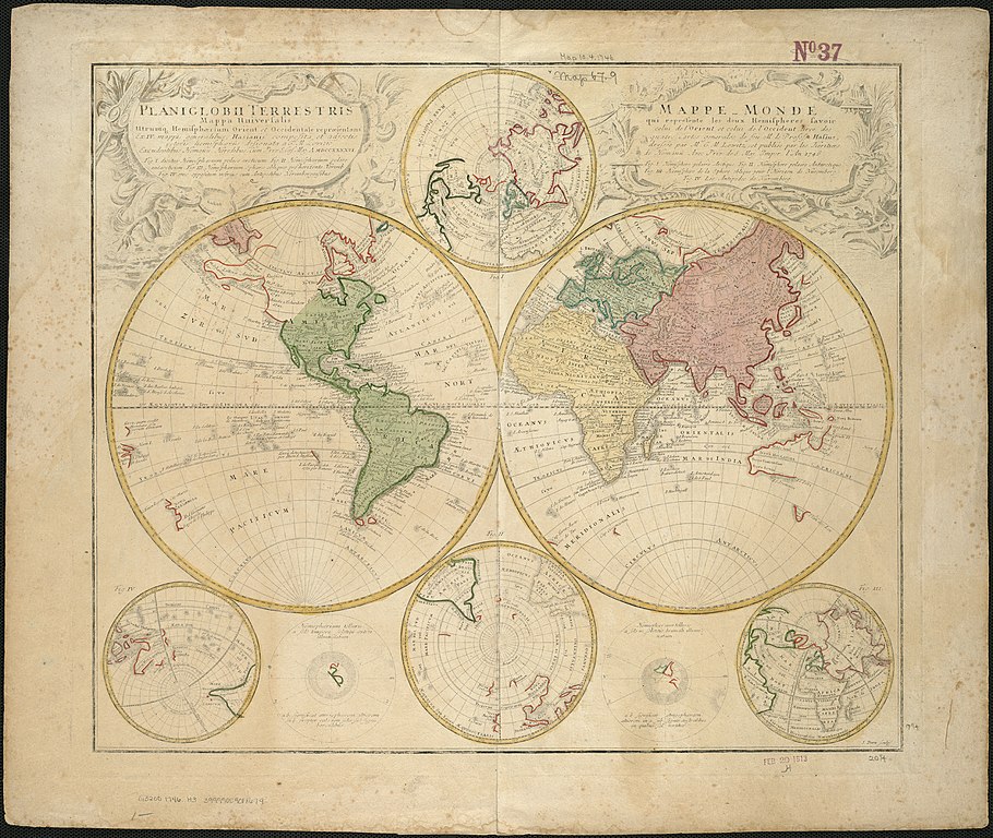
English: Zoom into http://maps.bpl.org/id/13026 at http://maps.bpl.org. Author: Hase, Johann Matthias |
|||||||||||||||||||
| Date | ||||||||||||||||||||
| Source | https://www.flickr.com/photos/normanbleventhalmapcenter/4072626766/ | |||||||||||||||||||
| Author |
|
|||||||||||||||||||
| Permission (Reusing this file) |
At the time of upload, the image license was automatically confirmed using the Flickr API. For more information see Flickr API detail. | |||||||||||||||||||
| Flickr sets |
|
|||||||||||||||||||
| Flickr tags |
|
|||||||||||||||||||
Licensing
[edit].jpg&action=edit§ion=2)
|
This work is in the public domain in its country of origin and other countries and areas where the copyright term is the author's life plus 100 years or fewer. This work is in the public domain in the United States because it was published (or registered with the U.S. Copyright Office) before January 1, 1929. | |
| This file has been identified as being free of known restrictions under copyright law, including all related and neighboring rights. | |
This file is licensed under the Creative Commons Attribution 2.0 Generic license.
- You are free:
- to share – to copy, distribute and transmit the work
- to remix – to adapt the work
- Under the following conditions:
- attribution – You must give appropriate credit, provide a link to the license, and indicate if changes were made. You may do so in any reasonable manner, but not in any way that suggests the licensor endorses you or your use.
| This image was originally posted to Flickr by Norman B. Leventhal Map Center at the BPL at https://flickr.com/photos/24528911@N05/4072626766. It was reviewed on 26 July 2017 by FlickreviewR and was confirmed to be licensed under the terms of the cc-by-2.0. |
File history
Click on a date/time to view the file as it appeared at that time.
| Date/Time | Thumbnail | Dimensions | User | Comment | |
|---|---|---|---|---|---|
| current | 16:51, 26 July 2017 | | 2,000 × 1,689 (3.57 MB) | Fæ (talk | contribs) | Norman B. Leventhal Map Center, Set 72157606294575930, ID 4072626766, Original title Planiglobii terrestris mappa universalis utrumq hemisph?rium orient. et occidentale repr?sentans ex IV mappis generalibus = Mappe-monde qui represente les deux hemisph... |
You cannot overwrite this file.
File usage on Commons
There are no pages that use this file.
.jpg&oldid=851411110)