File:PONUS RIDGE ROAD TO SOUTH AVENUE VICINITY, AERIAL PHOTO SURVEY (-M34-297), CA. 1941. - Merritt Parkway, Beginning in Greenwich and running 38 miles to Stratford, Greenwich, HAER CONN,1-GREWI,2-119.tif
Jump to navigation
Jump to search

Size of this JPG preview of this TIF file: 479 × 600 pixels. Other resolutions: 192 × 240 pixels | 383 × 480 pixels | 613 × 768 pixels | 818 × 1,024 pixels | 1,635 × 2,048 pixels | 4,009 × 5,020 pixels.
Original file (4,009 × 5,020 pixels, file size: 19.2 MB, MIME type: image/tiff)
Captions
Captions
Add a one-line explanation of what this file represents
Summary
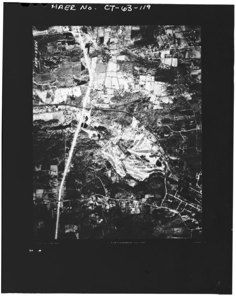
[edit]| PONUS RIDGE ROAD TO SOUTH AVENUE VICINITY, AERIAL PHOTO SURVEY (-M34-297), CA. 1941. - Merritt Parkway, Beginning in Greenwich and running 38 miles to Stratford, Greenwich, Fairfield County, CT | ||||
|---|---|---|---|---|
| Title |
PONUS RIDGE ROAD TO SOUTH AVENUE VICINITY, AERIAL PHOTO SURVEY (-M34-297), CA. 1941. - Merritt Parkway, Beginning in Greenwich and running 38 miles to Stratford, Greenwich, Fairfield County, CT |
|||
| Depicted place | Connecticut; Fairfield County; Greenwich | |||
| Dimensions | 4 x 5 in. | |||
| Current location |
Library of Congress Prints and Photographs Division Washington, D.C. 20540 USA http://hdl.loc.gov/loc.pnp/pp.print |
|||
| Accession number |
HAER CONN,1-GREWI,2-119 |
|||
| Credit line |
|
|||
| Source | https://www.loc.gov/pictures/item/ct0484.photos.022367p | |||
| Permission (Reusing this file) |
|
|||

File history
Click on a date/time to view the file as it appeared at that time.
| Date/Time | Thumbnail | Dimensions | User | Comment | |
|---|---|---|---|---|---|
| current | 13:44, 8 July 2014 |  | 4,009 × 5,020 (19.2 MB) | Fæ (talk | contribs) | GWToolset: Creating mediafile for Fæ. HABS 06 July 2014 (611:700) |
You cannot overwrite this file.
File usage on Commons
The following page uses this file: