File:Péninsule ibérique en 1037-2-es.svg
Jump to navigation
Jump to search

Size of this PNG preview of this SVG file: 800 × 552 pixels. Other resolutions: 320 × 221 pixels | 640 × 442 pixels | 1,024 × 707 pixels | 1,280 × 883 pixels | 2,560 × 1,766 pixels | 1,703 × 1,175 pixels.
Original file (SVG file, nominally 1,703 × 1,175 pixels, file size: 2.56 MB)
Captions
Captions
Add a one-line explanation of what this file represents
Summary
[edit]
| Description |
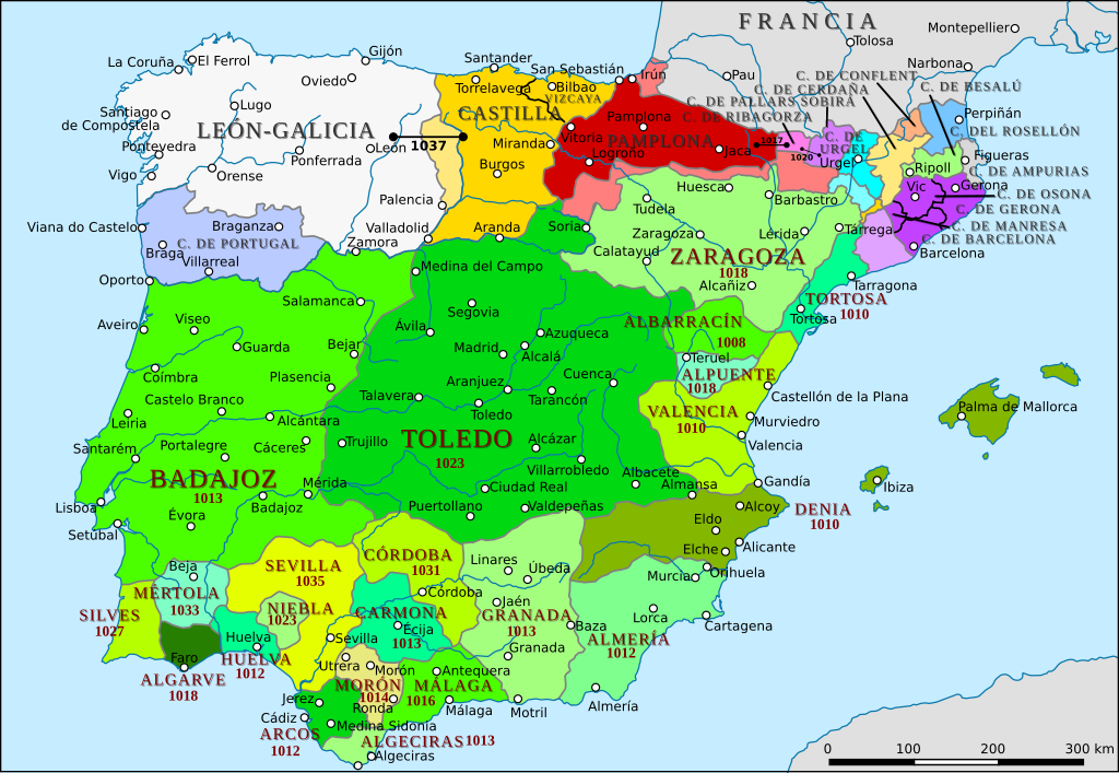
English: Carte de la péninsule ibérique de 1002 à 1037. |
| Source |
This file was derived from: Péninsule ibérique en 1037.png |
| Author |
Péninsule ibérique en 1037.png: Elryck
|
| Permission (Reusing this file) |
File:Péninsule_ibérique_en_1037.png |
Licensing
[edit]
This file is licensed under the Creative Commons Attribution-Share Alike 4.0 International license.
- You are free:
- to share – to copy, distribute and transmit the work
- to remix – to adapt the work
- Under the following conditions:
- attribution – You must give appropriate credit, provide a link to the license, and indicate if changes were made. You may do so in any reasonable manner, but not in any way that suggests the licensor endorses you or your use.
- share alike – If you remix, transform, or build upon the material, you must distribute your contributions under the same or compatible license as the original.
File history
Click on a date/time to view the file as it appeared at that time.
| Date/Time | Thumbnail | Dimensions | User | Comment | |
|---|---|---|---|---|---|
| current | 15:37, 24 August 2020 | | 1,703 × 1,175 (2.56 MB) | Rowanwindwhistler (talk | contribs) | Uploading a file from a free published source using File Upload Wizard |
You cannot overwrite this file.
File usage on Commons
The following page uses this file:
File usage on other wikis
The following other wikis use this file:
- Usage on it.wikipedia.org
Metadata
Categories:
- Spanish-language SVG maps showing history of Europe
- Maps of 11th-century Iberian Peninsula
- Reconquista maps of the Iberian Peninsula
- Iberian kingdoms
- Maps of Al-Andalus
- Maps of the Kingdom of León
- Maps of Aragon
- Maps of the County of Barcelona
- Maps of Catalan counties
- Maps of the taifa kingdoms
- Territorial evolution of Spain
- Spain in the 1030s
- Maps of the County of Castile