File:OrangeFreeState.svg
Jump to navigation
Jump to search

Size of this PNG preview of this SVG file: 725 × 600 pixels. Other resolutions: 290 × 240 pixels | 581 × 480 pixels | 929 × 768 pixels | 1,238 × 1,024 pixels | 2,477 × 2,048 pixels | 1,000 × 827 pixels.
Original file (SVG file, nominally 1,000 × 827 pixels, file size: 98 KB)
Captions
Captions
Add a one-line explanation of what this file represents

|
This file has been superseded by Map of the provinces of South Africa 1976-1994 with the OFS highlighted.svg. It is recommended to use the other file. Please note that deleting superseded images requires consent.
|

|
Summary
[edit]
| Description |
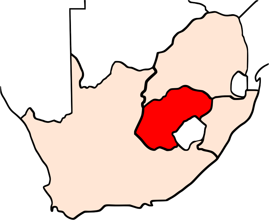
English: Map of the Orange Free State |
| Source | Own work |
| Author | Svyatoslav |
Licensing
[edit]
| I, the copyright holder of this work, release this work into the public domain. This applies worldwide. In some countries this may not be legally possible; if so: I grant anyone the right to use this work for any purpose, without any conditions, unless such conditions are required by law. |
File history
Click on a date/time to view the file as it appeared at that time.
| Date/Time | Thumbnail | Dimensions | User | Comment | |
|---|---|---|---|---|---|
| current | 23:45, 5 June 2009 | | 1,000 × 827 (98 KB) | Svyatoslav (talk | contribs) | Changed the coloring to match the other South African maps |
| 23:43, 5 June 2009 |  | 1,000 × 827 (98 KB) | Svyatoslav (talk | contribs) | {{Information |Description={{en|1=Map of the Orange Free State}} |Source=Own work by uploader |Author=Svyatoslav |Date= |Permission= |other_versions= }} <!--{{ImageUpload|full}}--> Category:Africa Category:South Africa [[Categ |
You cannot overwrite this file.
File usage on Commons
There are no pages that use this file.
File usage on other wikis
The following other wikis use this file:
- Usage on be-tarask.wikipedia.org
- Usage on be.wikipedia.org