Category:Locator maps of former provinces of South Africa
Jump to navigation
Jump to search
Media in category "Locator maps of former provinces of South Africa"
The following 20 files are in this category, out of 20 total.
-
 Orange Free State map.png 1,000 × 827; 49 KB
-
 OrangeFreeState.svg 1,000 × 827; 98 KB
-
 Cape Colony map.png 1,000 × 827; 49 KB
-
 Locator map of Cape Colony 1885.svg 1,120 × 985; 231 KB
-
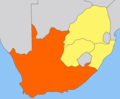
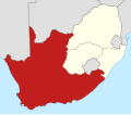
 Locator map of Cape Province as of 1 March 1994.svg 1,120 × 985; 341 KB
-
 Locator map of Natal Province as of 1 March 1994.svg 1,120 × 985; 341 KB
-
 Locator map of Orange Free State Province as of 1 March 1994.svg 1,120 × 985; 341 KB
-
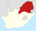
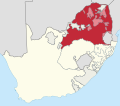 Locator map of Transvaal Province as of 1 March 1994.svg 1,120 × 985; 341 KB
-
 Map of South Africa with provincial and homeland borders as of 1 March 1994.svg 1,120 × 985; 341 KB
-

-
-

-
-

-

-

-

-
 Natal Colony map.png 1,000 × 827; 49 KB
-
 Transvaal map.png 1,000 × 827; 41 KB
-
 Transvaal.svg 1,000 × 827; 98 KB


