File:Ohio Counties.gif
Jump to navigation
Jump to search

Size of this preview: 489 × 600 pixels. Other resolutions: 196 × 240 pixels | 391 × 480 pixels | 626 × 768 pixels | 1,176 × 1,442 pixels.
Original file (1,176 × 1,442 pixels, file size: 93 KB, MIME type: image/gif)
Captions
Captions
Add a one-line explanation of what this file represents
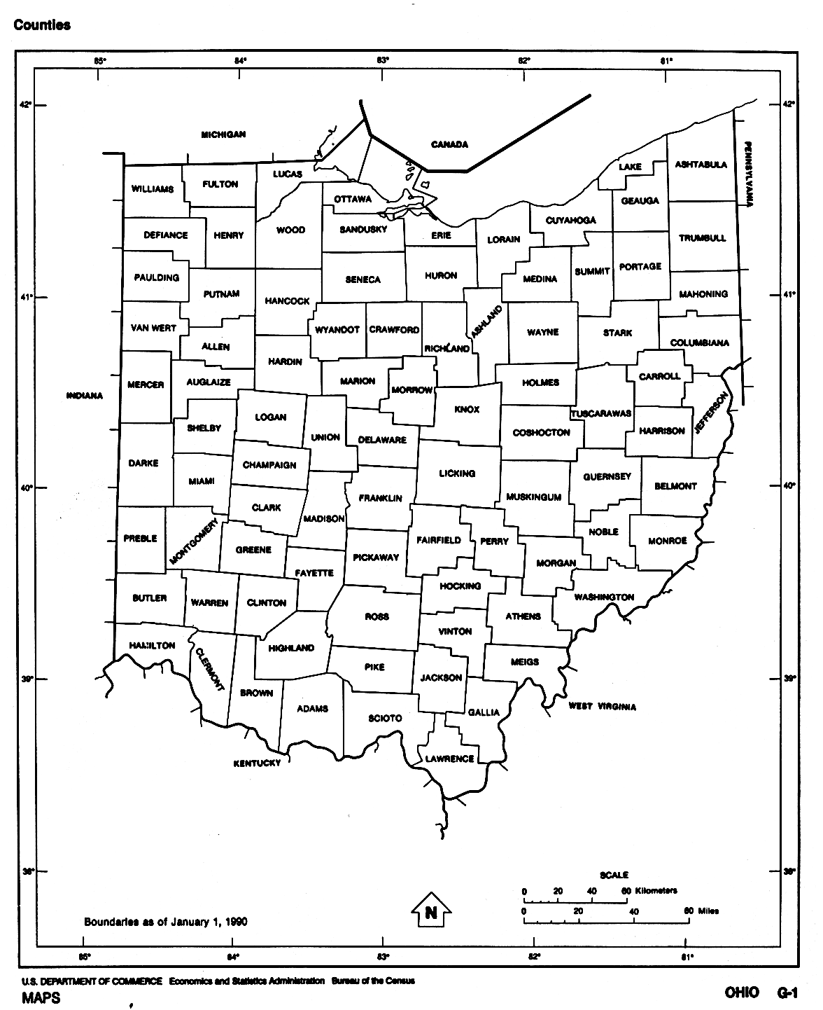
| Description | A map of Ohio counties | |||
| Source | http://www.lib.utexas.edu/maps/states/ohio.gif | |||
| Author | US Census Bureau | |||
| Permission (Reusing this file) |
|

File history
Click on a date/time to view the file as it appeared at that time.
| Date/Time | Thumbnail | Dimensions | User | Comment | |
|---|---|---|---|---|---|
| current | 23:32, 6 December 2007 | | 1,176 × 1,442 (93 KB) | Noddy (talk | contribs) | {{Information |Description=A map of Ohio counties |Source=http://www.lib.utexas.edu/maps/states/ohio.gif |Date= |Author=US Census Bureau |Permission={{PD-USGov-DOC-Census}} |other_versions= }} |
You cannot overwrite this file.
File usage on Commons
The following page uses this file: