File:OBLIQUE VIEW, NORTH AND EAST SIDES. VIEW SHOWS POSITION OF BUILDING UNDER LEG OF TOWER 33. - Chollas Heights Naval Radio Transmitting Facility, PERS Support Storage Building, HAER CAL,37-SANDI,31G-1.tif
Jump to navigation
Jump to search

Size of this JPG preview of this TIF file: 743 × 600 pixels. Other resolutions: 298 × 240 pixels | 595 × 480 pixels | 952 × 768 pixels | 1,269 × 1,024 pixels | 2,538 × 2,048 pixels | 5,000 × 4,035 pixels.
Original file (5,000 × 4,035 pixels, file size: 19.24 MB, MIME type: image/tiff)
Captions
Captions
Add a one-line explanation of what this file represents
Summary
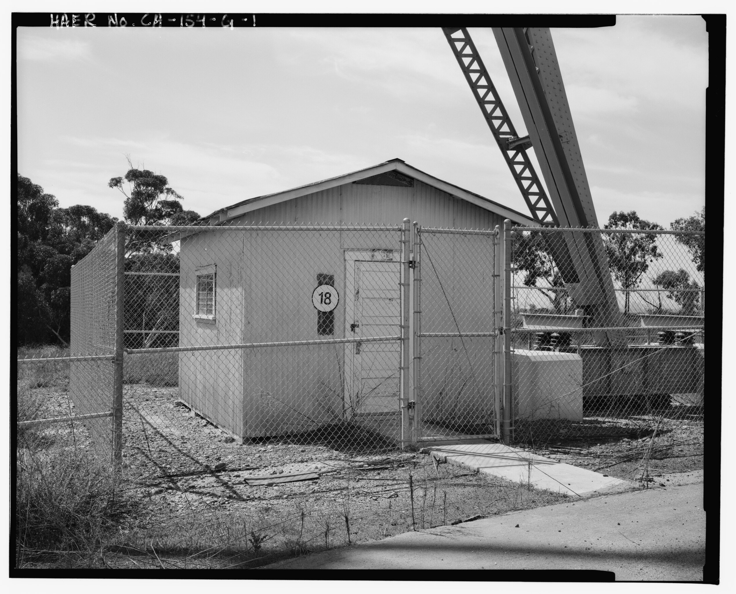
[edit]| OBLIQUE VIEW, NORTH AND EAST SIDES. VIEW SHOWS POSITION OF BUILDING UNDER LEG OF TOWER 33. - Chollas Heights Naval Radio Transmitting Facility, PERS Support Storage Building, 6410 Zero Road, San Diego, San Diego County, CA | ||||
|---|---|---|---|---|
| Photographer |
Wray, Christopher P. |
|||
| Title |
OBLIQUE VIEW, NORTH AND EAST SIDES. VIEW SHOWS POSITION OF BUILDING UNDER LEG OF TOWER 33. - Chollas Heights Naval Radio Transmitting Facility, PERS Support Storage Building, 6410 Zero Road, San Diego, San Diego County, CA |
|||
| Depicted place | California; San Diego County; San Diego | |||
| Date | 1994 | |||
| Dimensions | 4 x 5 in. | |||
| Current location |
Library of Congress Prints and Photographs Division Washington, D.C. 20540 USA http://hdl.loc.gov/loc.pnp/pp.print |
|||
| Accession number |
HAER CAL,37-SANDI,31G-1 |
|||
| Credit line |
|
|||
| Source | https://www.loc.gov/pictures/item/ca1942.photos.315879p | |||
| Permission (Reusing this file) |
|
|||

| Camera location | | View this and other nearby images on: OpenStreetMap |
|---|
File history
Click on a date/time to view the file as it appeared at that time.
| Date/Time | Thumbnail | Dimensions | User | Comment | |
|---|---|---|---|---|---|
| current | 05:08, 5 July 2014 |  | 5,000 × 4,035 (19.24 MB) | Fæ (talk | contribs) | GWToolset: Creating mediafile for Fæ. HABS 05 July 2014 (401:500) |
You cannot overwrite this file.
File usage on Commons
The following page uses this file: