File:Nantucket NM23-744-635.jpg
Original file (4,024 × 4,024 pixels, file size: 13.64 MB, MIME type: image/jpeg)
Captions
Captions
Summary
[edit]
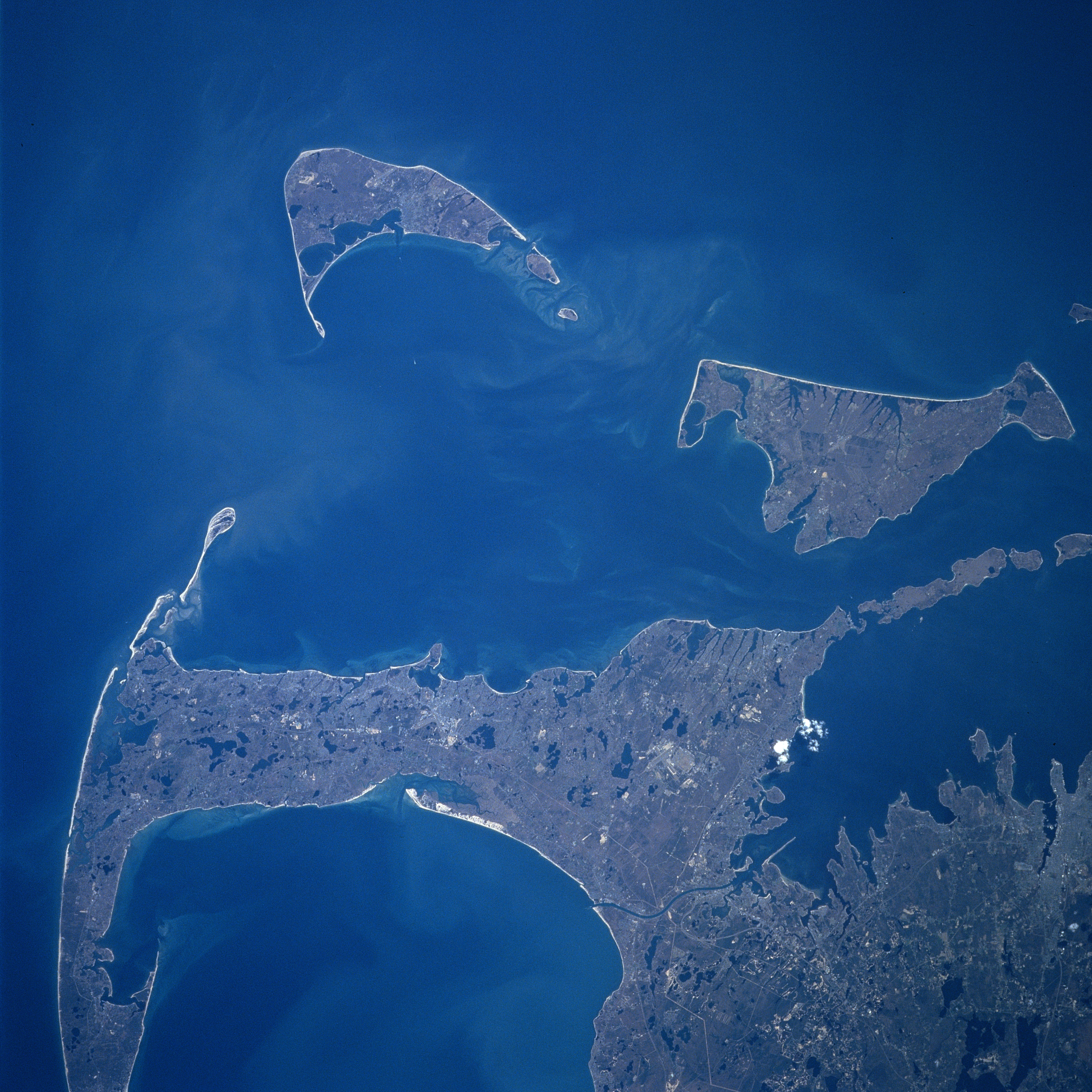
Cape Cod, Nantucket and Marthas Vineyard Islands, Massachusetts Spring 1997
Fonte
[edit]
Earth.Jonhson Space Center.National Aeronautic and Space Administration.government/Space Shuttle Earth Observations Photography/Earth From Space/low resolution. Nantucket
View from Space Shuttle Atlantis STS84, docking Mir space station, mission NM23-744-635, Launch: April 1997.
Cape Cod, Nantucket and Marthas Vineyard Islands, Massachusetts Spring 1997
[edit]
Looking generally to the south, Cape Cod and the islands of Nantucket and Marthas Vineyard are visible in this synoptic view. Nantucket Island is located 30 miles (48 km) off the coast of southeast Massachusetts. The island is 14 miles (23 km) long and from 3 to 6 miles (5 to 10 km) wide. Nantucket Island has many sandy beaches and low rolling hills composed of sand and gravel. Marthas Vineyard is the larger of the two islands and is triangular shaped island situated 7 miles (11 km) off the southern coast of Massachusetts. Marthas Vineyard is 23 miles (37 km) wide (east to west) and 9 miles (14 km) long (north to south), and covers 100 sq. miles (259 km2). Both islands are favorite tourist and resort areas. North of Martha's Vineyard (right center), the Elizabeth Islands and Buzzards Bay are visible. Cape Cod Bay is in the lower left portion of the image.
Content Provider
[edit]
Kamlesh P. Lulla Ph.D. Chief, Earth Sciences Branch
Responsible NASA Official: Ed Wilson
Curator: Jaime Powell
Last Update: 06/17/2002
Licensing
[edit]
| This file is in the public domain in the United States because it was solely created by NASA. NASA copyright policy states that "NASA material is not protected by copyright unless noted". (See Template:PD-USGov, NASA copyright policy page or JPL Image Use Policy.) | ||
 |
Warnings:
|
File history
Click on a date/time to view the file as it appeared at that time.
| Date/Time | Thumbnail | Dimensions | User | Comment | |
|---|---|---|---|---|---|
| current | 21:24, 24 July 2023 | | 4,024 × 4,024 (13.64 MB) | Don-vip (talk | contribs) | |
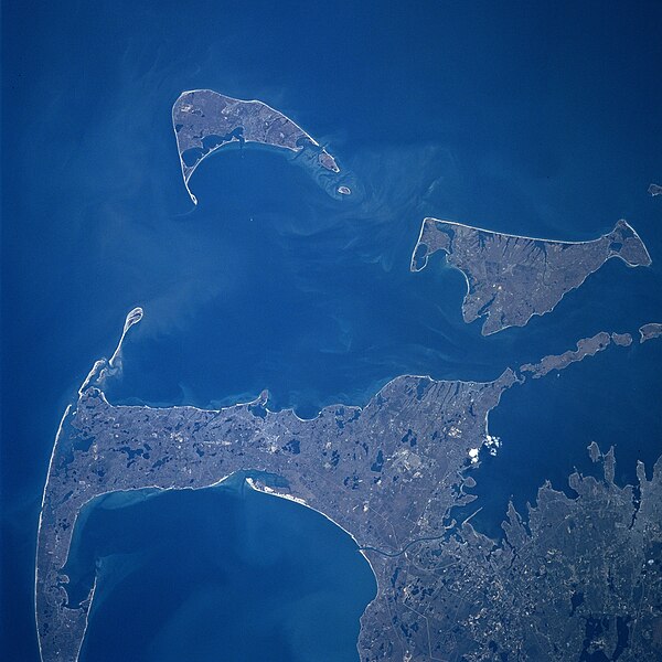
| 10:15, 1 September 2005 |  | 640 × 640 (39 KB) | Roger469 (talk | contribs) | == Fonte == Earth.Jonhson Space Center.National Aeronautic and Space Administration.government/Space Shuttle Earth Observations Photography/Earth From Space/low resolution.[ http://earth.jsc.nasa.gov/sseop/efs/lores.pl?PHOTO= NM23-744-635 Nantucket] <br> |
You cannot overwrite this file.
File usage on Commons
The following page uses this file:
File usage on other wikis
The following other wikis use this file:
- Usage on ceb.wikipedia.org
- Usage on es.wikipedia.org
- Usage on he.wikipedia.org
- Usage on ja.wikipedia.org
- Usage on www.wikidata.org