File:NDL2540824 加能越三州海邊筋村建等分間繪圖.pdf


Original file (13,595 × 9,937 pixels, file size: 167.95 MB, MIME type: application/pdf, 40 pages)
Captions
Captions
Summary
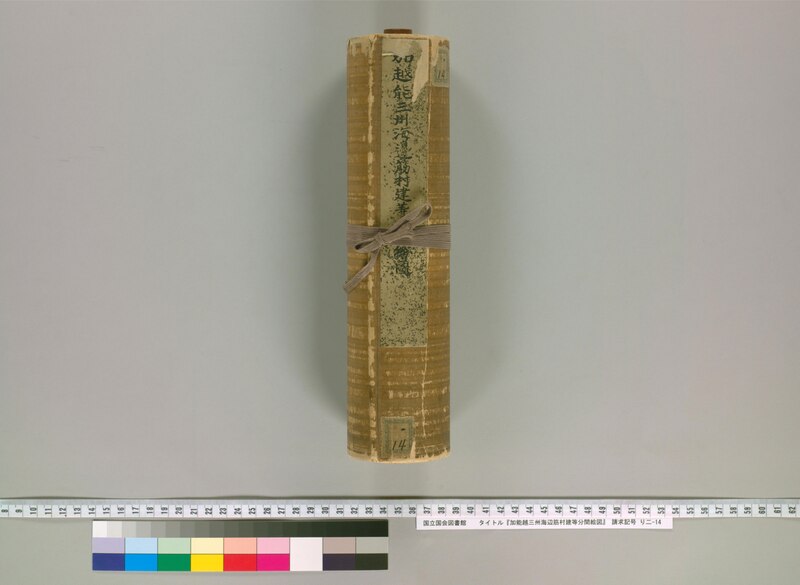
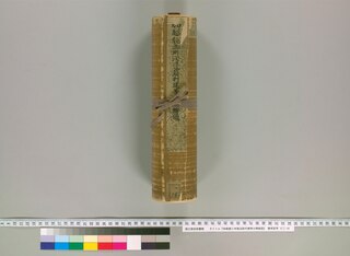
[edit]| 加能越三州海邊筋村建等分間繪圖
( |
|||||||||||||||||||||||||||
|---|---|---|---|---|---|---|---|---|---|---|---|---|---|---|---|---|---|---|---|---|---|---|---|---|---|---|---|
| Title |
加能越三州海邊筋村建等分間繪圖 |
 | |||||||||||||||||||||||||
| Description |
書名は巻頭による 題簽書名: 加越能三州海邉筋村建等分間繪圖 彩色 大きさは台紙による 本紙の大きさ (縦) : 26cm 資料種別 : [書写資料] 装丁 : 和装 |
||||||||||||||||||||||||||
| Language | jpn | ||||||||||||||||||||||||||
| Publication date |
1800 [18--] [写] |
||||||||||||||||||||||||||
| Place of publication | JP | ||||||||||||||||||||||||||
| Source |
|
||||||||||||||||||||||||||
| Alternative Title | 加越能三州海邉筋村建等分間繪圖 | ||||||||||||||||||||||||||
| Subject | 地図・絵図/加賀国・能登国・越中国 | ||||||||||||||||||||||||||
| Subject: NDLC | W271
W272 W273 |
||||||||||||||||||||||||||
| Abstract | 書名は内題によっているが、題簽は加越能と記載順が異なる。題名どおり、加賀・能登・越中3国の海岸沿いの実測(分間)図。曲尺1分を1町(1:36000)とする。嘉永2年(1849)9月、領内に海岸線を有する諸藩に対する幕府指令に応じて作成された沿海図の写し。①海岸筋郡村および領主名 ②各村海岸延長 ③沿岸各所の沖合に向かって一定距離の点(海岸から垂直方向へ30間、1・5・10・20・30丁)の水深(尋)など、幕府指示による内容を表示する。能登半島一周を含む屈曲の多い海岸線の実測図を25.9㎝幅の巻物に描くため、必要個所に襞状の折り目(空白部)を設け、折り目どおりに折れば左右の測線が連続する仕様となっている。 | ||||||||||||||||||||||||||
| Date Accepted: W3CDTF | 2011-08-08T14:37:02+09:00 | ||||||||||||||||||||||||||
| Extent | 1軸 ; 29cm | ||||||||||||||||||||||||||
| Material Type | Book
Manuscript JapaneseClassicalBook |
||||||||||||||||||||||||||
| Date Digitized: W3CDTF | 2011-03-31 | ||||||||||||||||||||||||||
| Audience | 一般 | ||||||||||||||||||||||||||
| Title Transcription | カノウエツ サンシュウ カイヘンスジ ムラダテトウ ブンケン エズ | ||||||||||||||||||||||||||
| Alternative Transcription | カエツノウ サンシュウ カイヘンスジ ムラダテトウ ブンケン エズ | ||||||||||||||||||||||||||
| Source Identifier: NDLBibID | 000007297631 | ||||||||||||||||||||||||||
| Type: kotenType | 絵図 | ||||||||||||||||||||||||||
| Call Number | り二-14 | ||||||||||||||||||||||||||

Licensing
[edit]This image is in the public domain because it is a mere mechanical scan or photocopy of a public domain original, or – from the available evidence – is so similar to such a scan or photocopy that no copyright protection can be expected to arise. The original itself is in the public domain for the following reason:
This tag is designed for use where there may be a need to assert that any enhancements (eg brightness, contrast, colour-matching, sharpening) are in themselves insufficiently creative to generate a new copyright. It can be used where it is unknown whether any enhancements have been made, as well as when the enhancements are clear but insufficient. For known raw unenhanced scans you can use an appropriate {{PD-old}} tag instead. For usage, see Commons:When to use the PD-scan tag.  |

File history
Click on a date/time to view the file as it appeared at that time.
| Date/Time | Thumbnail | Dimensions | User | Comment | |
|---|---|---|---|---|---|
| current | 22:42, 7 July 2023 |  | 13,595 × 9,937, 40 pages (167.95 MB) | Wmr-bot (talk | contribs) | 上載《2540824.pdf》 |
You cannot overwrite this file.
File usage on Commons
The following page uses this file: