File:NDL1141888 東北帝国大学理学部地質学古生物学教室研究邦文報告 第37号.pdf


Original file (6,062 × 4,012 pixels, file size: 57.94 MB, MIME type: application/pdf, 67 pages)
Captions
Captions
Summary
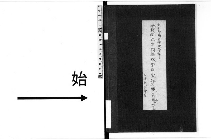
[edit]| 東北帝国大学理学部地質学古生物学教室研究邦文報告
( |
|||||||||||||||||||||||||||
|---|---|---|---|---|---|---|---|---|---|---|---|---|---|---|---|---|---|---|---|---|---|---|---|---|---|---|---|
| Author |
東北帝国大学 |
 | |||||||||||||||||||||||||
| Title |
東北帝国大学理学部地質学古生物学教室研究邦文報告 |
||||||||||||||||||||||||||
| Volume | 第37号 | ||||||||||||||||||||||||||
| Publisher |
東北帝国大学 |
||||||||||||||||||||||||||
| Language | jpn | ||||||||||||||||||||||||||
| Publication date |
1941 昭和16 |
||||||||||||||||||||||||||
| Place of publication | JP | ||||||||||||||||||||||||||
| Source |
|
||||||||||||||||||||||||||
| Part Title | 第34号 北上山地南端部の地質に就いて(稲井豊高,高橋年次) 第35号 岩手県気仙郡大船渡湾沿岸の白亜紀層(関武夫,今泉力蔵) 第36号 支那大陸の脊椎動物化石 前編(鹿島時夫) 第37号 蘭領ニューギニア,ホーゲルコップ半島北東岸の地形態学的並に地質学的観察(田山利三郎) 第38号 メキシコ油田概観(浅野清) メキシコ国地峡地方油田概観(橋本亙) 第39号 珊瑚礁問題(矢部長克) ヤップ島の造礁珊瑚並に裾礁に就いて(杉山敏郎) 南洋群島の珊瑚礁に就きて(浅野清) | ||||||||||||||||||||||||||
| Creator | 東北帝国大学 編 | ||||||||||||||||||||||||||
| Publication Place | 仙台 | ||||||||||||||||||||||||||
| Subject: NDC | 450 | ||||||||||||||||||||||||||
| Extent | 6冊 ; 19cm | ||||||||||||||||||||||||||
| Material Type | Book | ||||||||||||||||||||||||||
| Source Identifier: JPNO | 46041059 | ||||||||||||||||||||||||||
| Date Digitized: W3CDTF | 2010-03-31 | ||||||||||||||||||||||||||
| Audience | 一般 | ||||||||||||||||||||||||||
| Title Transcription | トウホク テイコク ダイガク リガクブ チシツガク コセイブツガク キョウシツ ケンキュウ ホウブン ホウコク | ||||||||||||||||||||||||||
| Volume Transcription | 00040 | ||||||||||||||||||||||||||
| Publisher Transcription | トウホク テイコク ダイガク | ||||||||||||||||||||||||||
| Source Identifier: NDLBibID | 000000701825 | ||||||||||||||||||||||||||
| Call Number | 14.5-44 | ||||||||||||||||||||||||||
| Creator: NDLNAId | 00256598 | ||||||||||||||||||||||||||
| Type: summaryPartition | 1 | ||||||||||||||||||||||||||
| Contents | 標題
9. Airjdato~Seheliber間の地形地質/20 10. Seheliben~Poelahoe間の地形地質/21 11. Poelahoe以下Boemi川下流地帶の地形地質/23 圖版.第I~第XV. |
||||||||||||||||||||||||||

Licensing
[edit]This image is in the public domain because it is a mere mechanical scan or photocopy of a public domain original, or – from the available evidence – is so similar to such a scan or photocopy that no copyright protection can be expected to arise. The original itself is in the public domain for the following reason:
This tag is designed for use where there may be a need to assert that any enhancements (eg brightness, contrast, colour-matching, sharpening) are in themselves insufficiently creative to generate a new copyright. It can be used where it is unknown whether any enhancements have been made, as well as when the enhancements are clear but insufficient. For known raw unenhanced scans you can use an appropriate {{PD-old}} tag instead. For usage, see Commons:When to use the PD-scan tag.  |

File history
Click on a date/time to view the file as it appeared at that time.
| Date/Time | Thumbnail | Dimensions | User | Comment | |
|---|---|---|---|---|---|
| current | 15:21, 4 December 2023 |  | 6,062 × 4,012, 67 pages (57.94 MB) | Wmr-bot (talk | contribs) | 上載《1141888.pdf》 |
You cannot overwrite this file.
File usage on Commons
The following page uses this file: